Into the Wild Divide: Section F & G: 280 km
“Section F & G: A superlative wilderness experience…the longest section and the soul of the GDT.” – Dustin Lynx
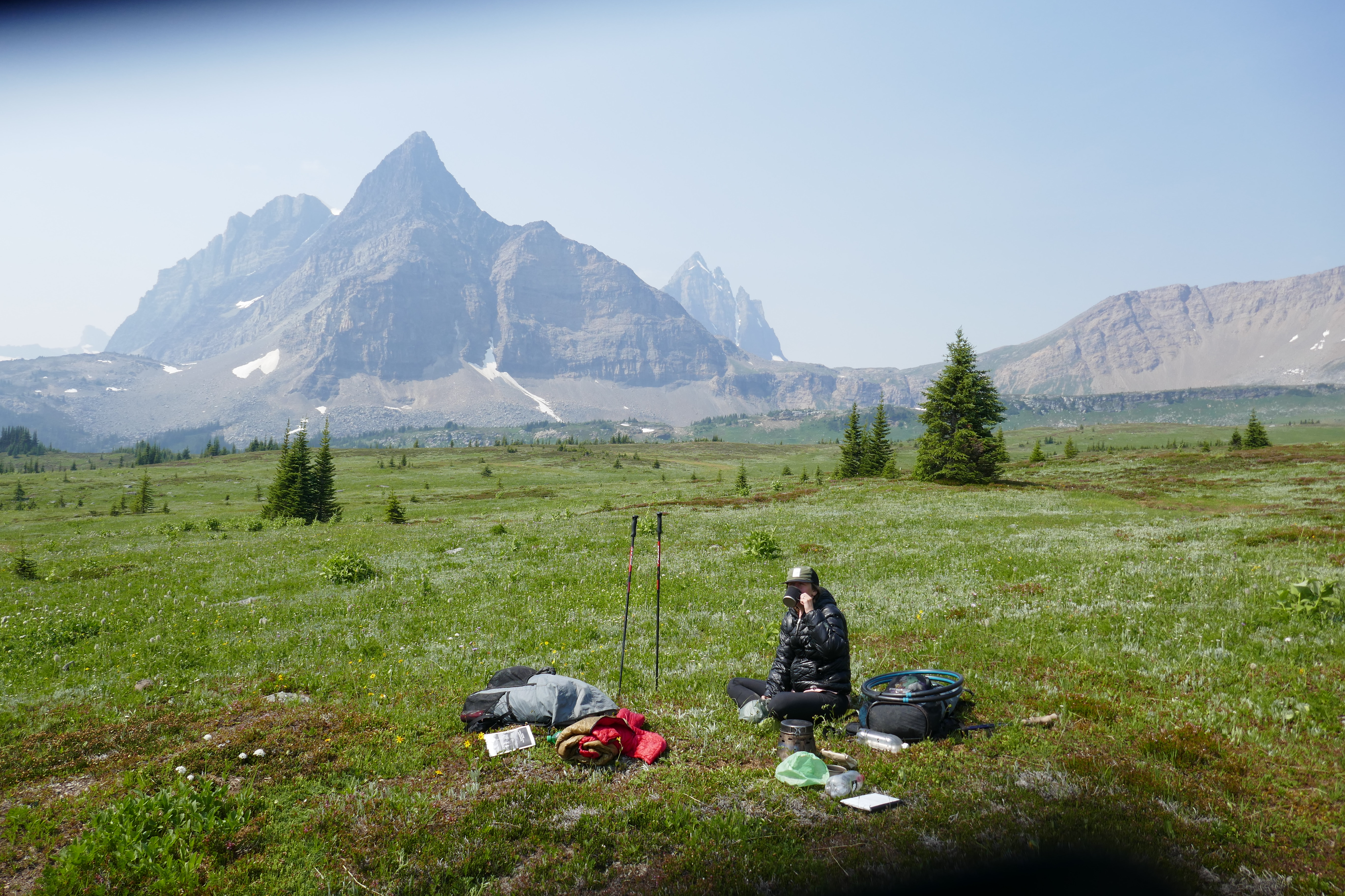
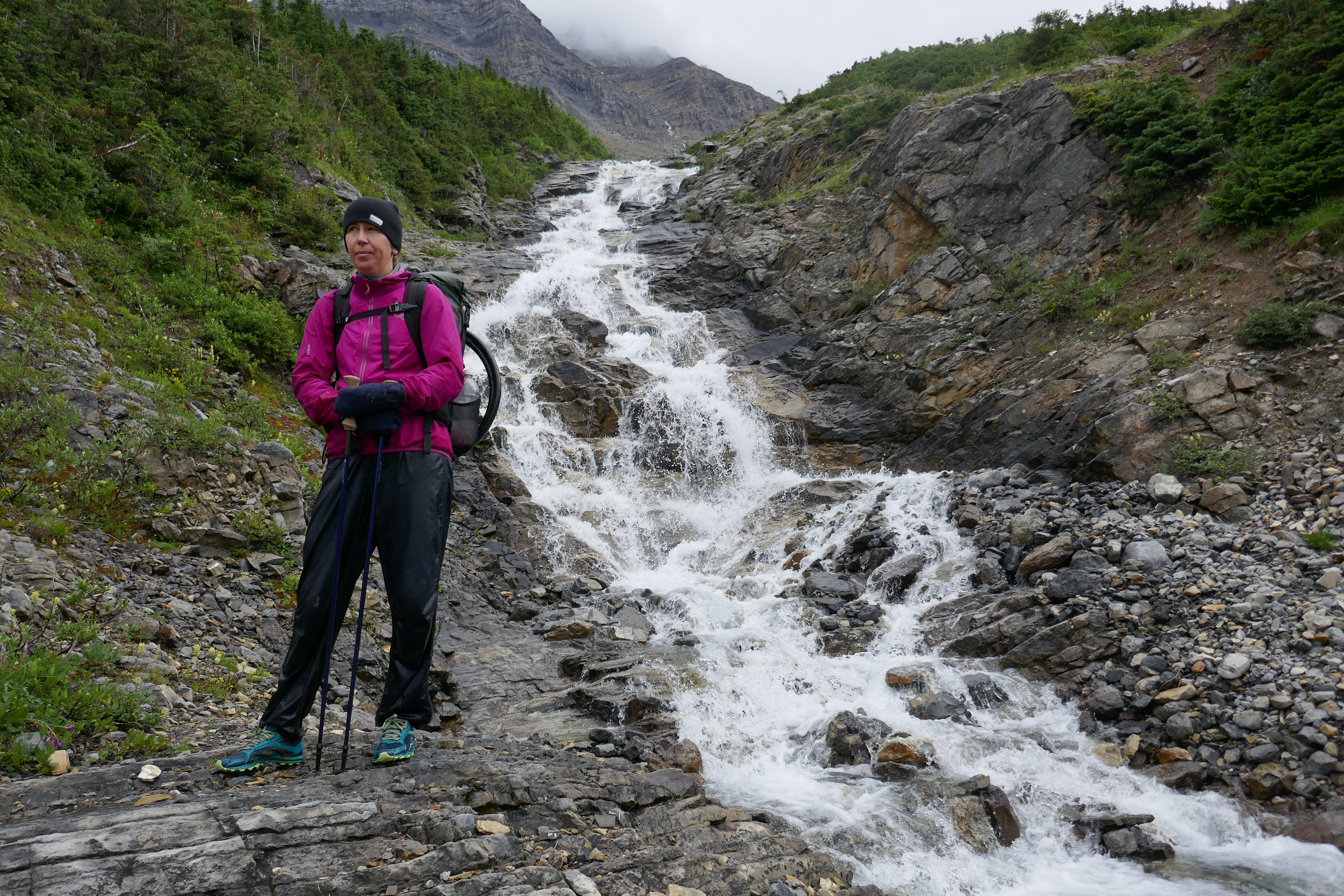
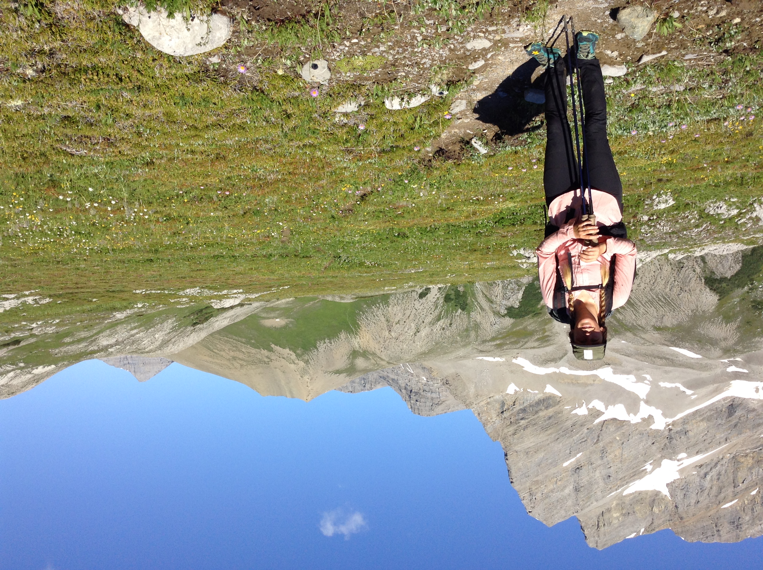
July 17 – 851-879 (28 km)
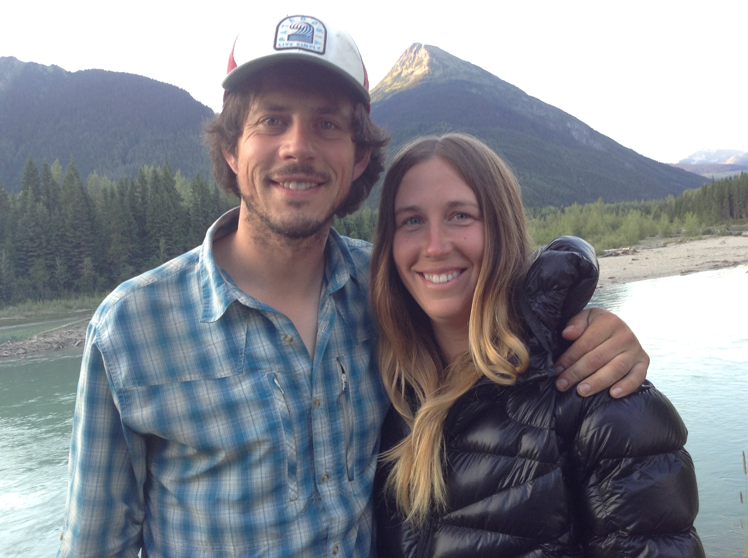
I’m not sure how we managed it, but we ripped ourselves away from the sticky bun goodness of Jasper, and hit the trail.
Our packs are heavy (at least by our lightweight standards) with 10 days of food. It will take us 10 days to make it to the trail’s end at Kakwa Lake BC where we will take a day off with my parents in the backcountry. They will bring us our next 10 day food supply, then we’ll turn around and do’er again. That’s 21 days in the wild, with no town stops.
WE. ARE. CRAZY. Somebody stop us!
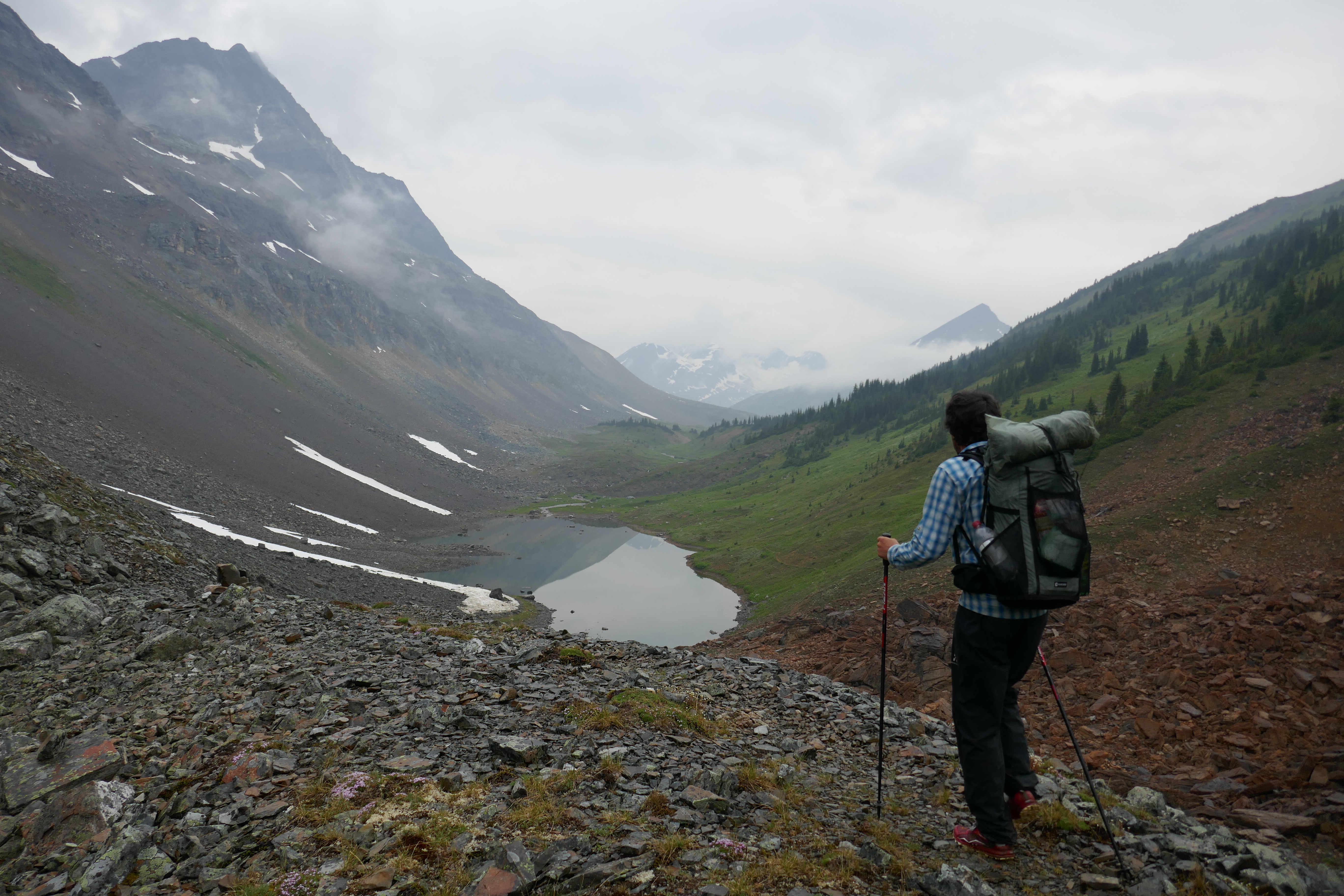
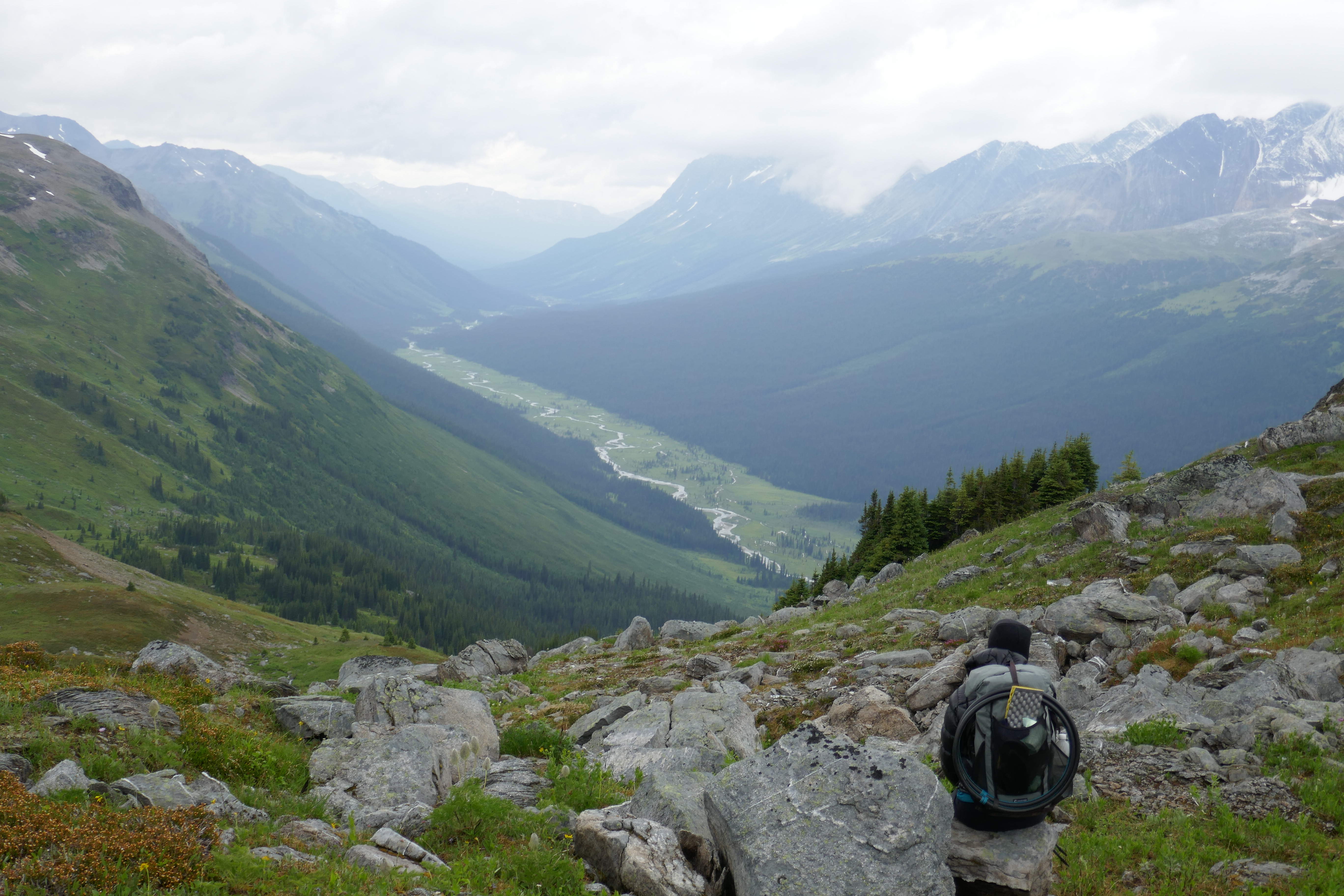
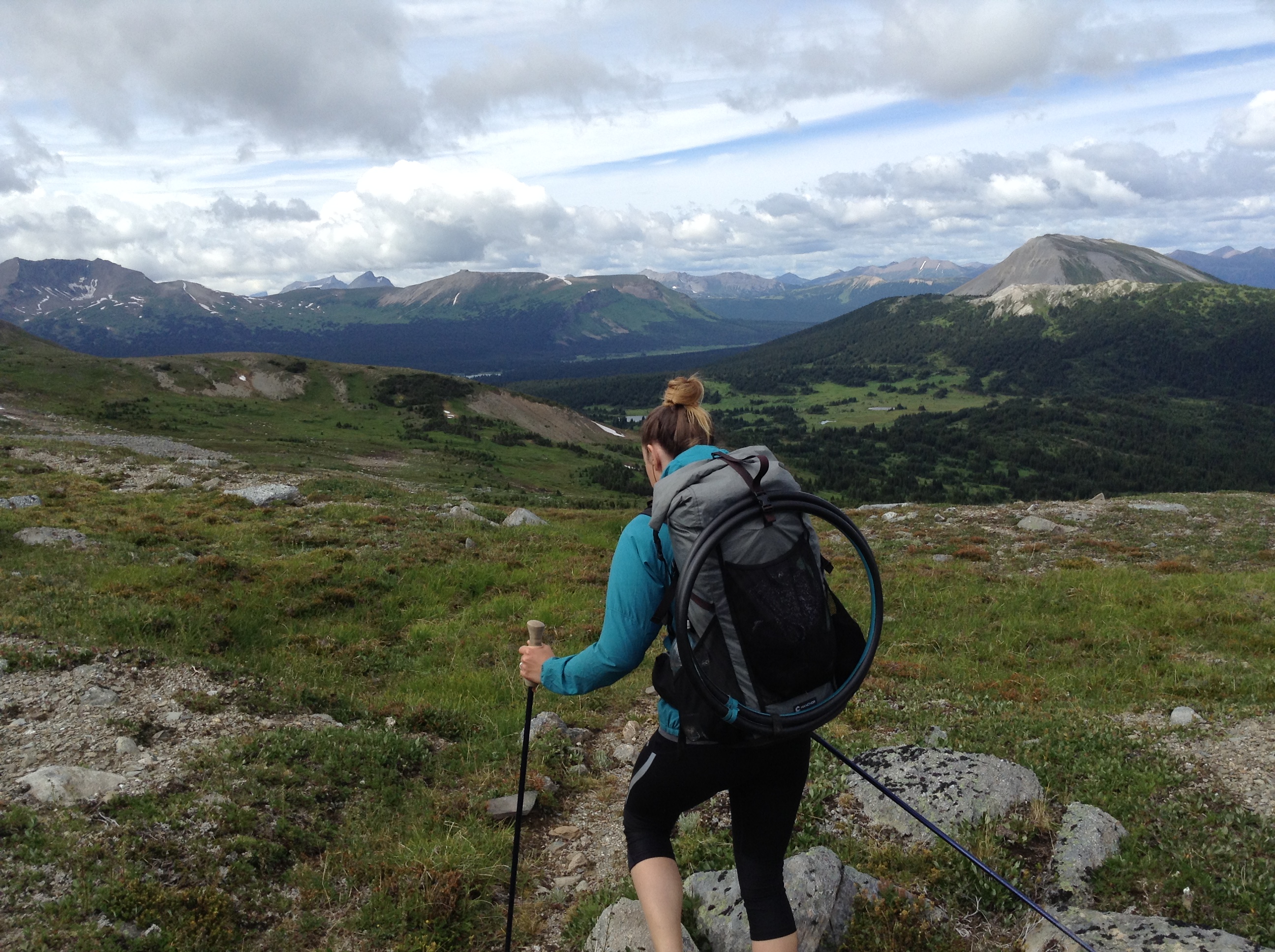
This section will be very remote – a fitting way to end a thru-hike, or in our case, a nice way to ramp things up in the middle. Up, up, up into the wild!
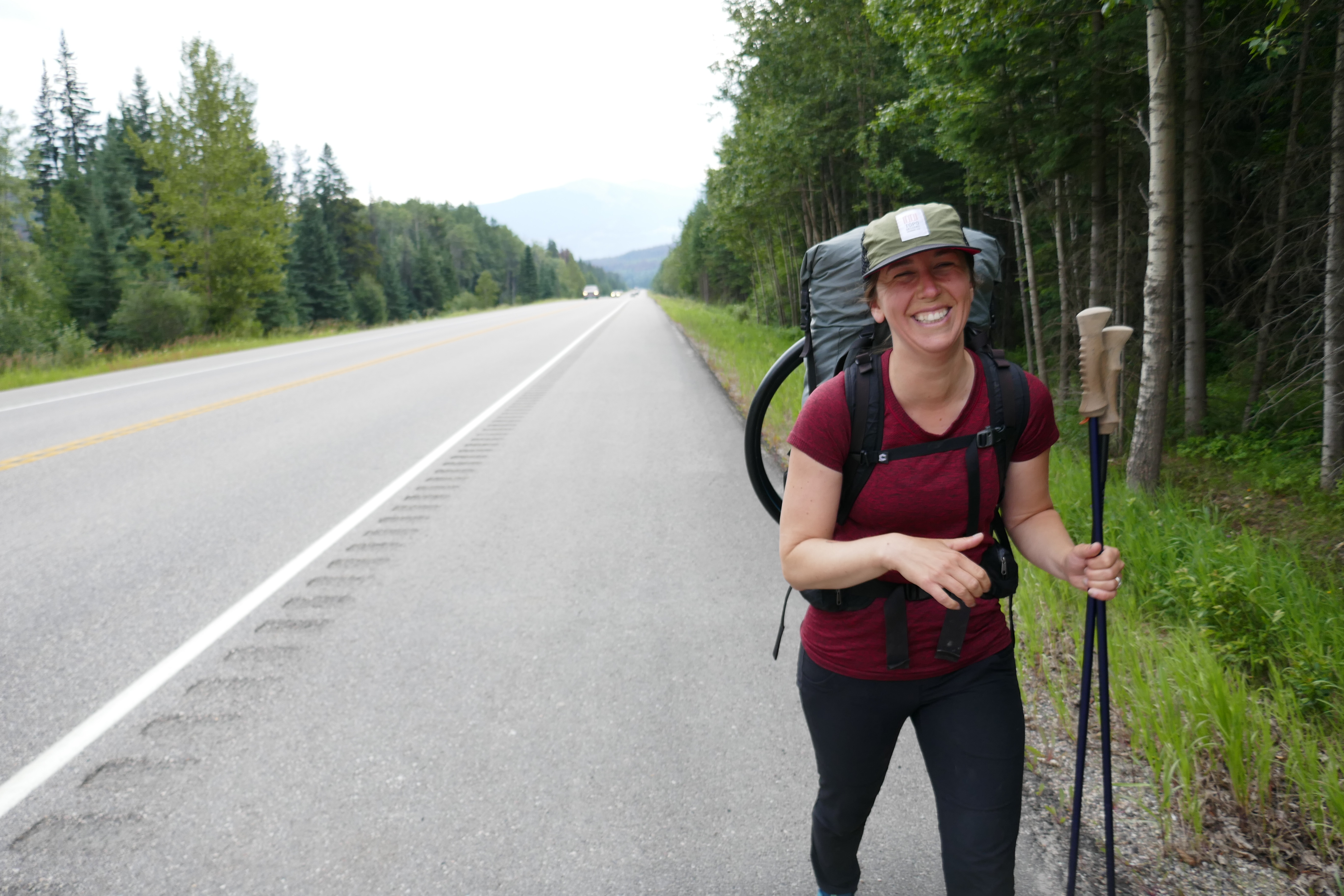
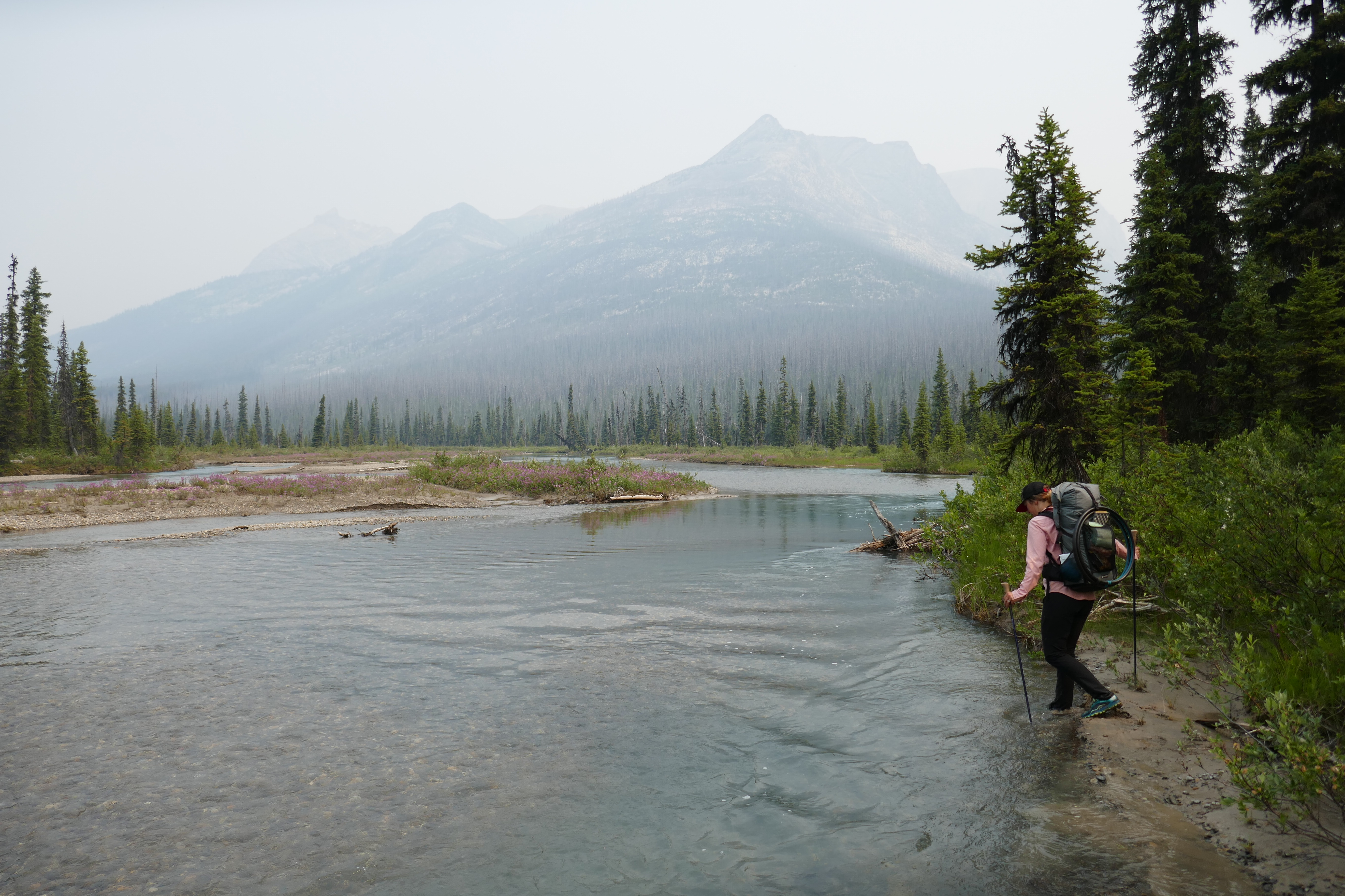
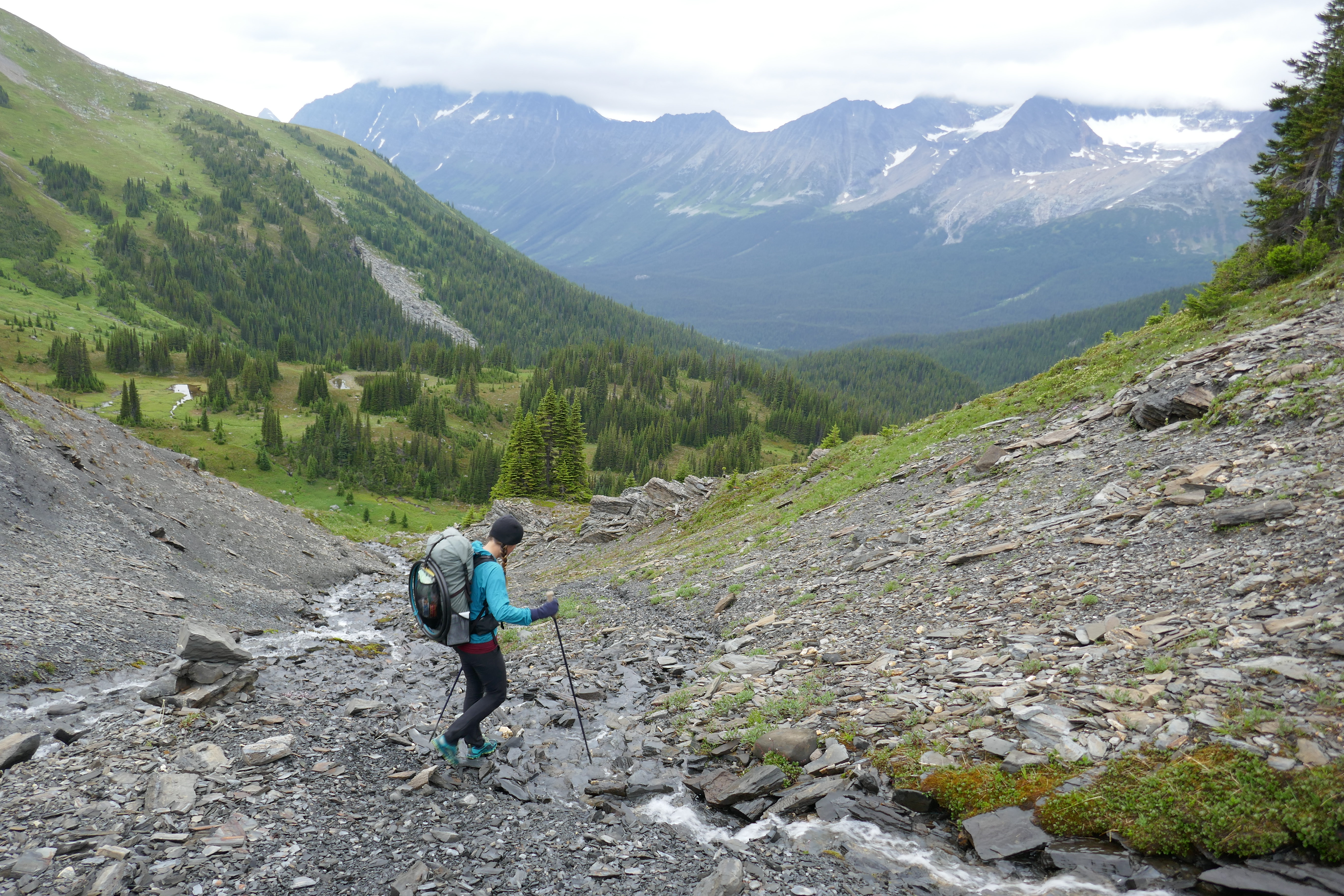
Contrastingly, the section begins with a 21 km road walk along the asphalt complete with whizzing cars, only to get slightly less “civil” with 5 km on an old FSR. Not a glorious way to start, but we decided we are going to walk the whole dang thing! So no thumb dangling for this duo…boo-hoo!
We bang out the highway walk at 6km/hr, and enjoy some good old cowboy coffee at the Forest Service Road. The coffee is fittingly named “Backcountry Brew,” and it’s delicious. We find our first wild raspberries along the road, and my paws are red with their sweet juices! Later on we find strawberries, and we giggle with the entrance of fruit season. A foragers delight…
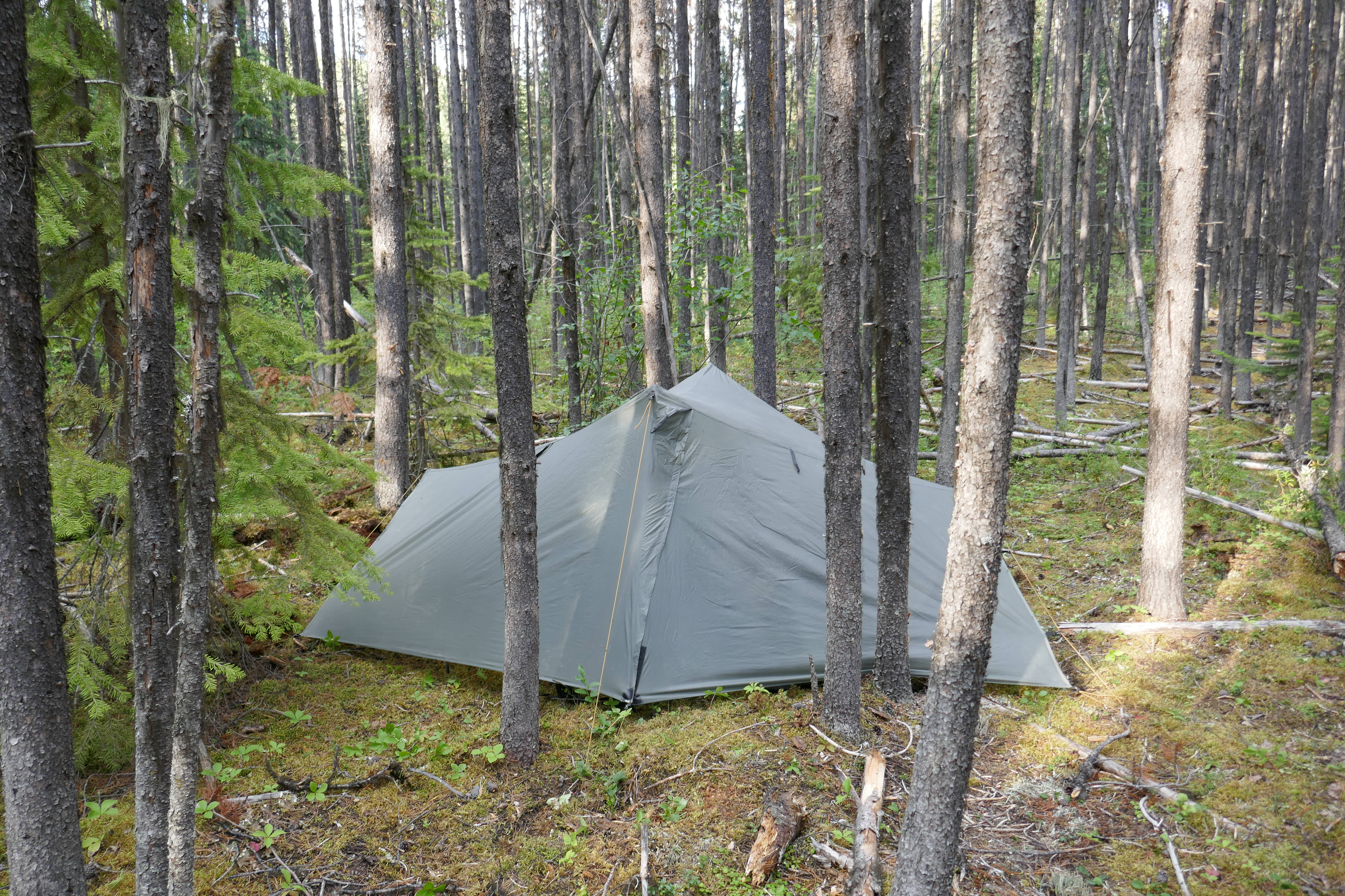
Our Ursacks (bear proof food bags) are too small to fit all of our food this evening, so we stuff all the “stinky” food inside the sacks, and sleep with the less odorous items. A gamble? Maybe. We would hang the rest, but tonight’s camp spot was wedged between skinny, weak, branch free lodge pole pines…not exactly bear hang friendly. Oh well. When in Rome…sleep with your food in Grizzly Bear country…? Sweet dreams!
July 18 – 879-912 (33km)
Hardly slept a wink, and it wasn’t from fear of hungry bears. My sleeping pad sprung a leak something fierce, and would completely deflate within 30 minutes of blowing it up. At 2:00 a.m. I finally gave up, and accepting to sleeping on the ground. Luckily it was semi-soft, but no Serta mattress.
I hike in an uninspired mood this morning – lack of sleep? Have you ever heard of Type 2 fun? It’s where you look back on a moment with fondness and gratitude, but in the moment, things feel more mundane or scary or challenging. I was walking in mud and swamps and bogs most of the day. THAT my friends, is Type 2 fun. A “ha ha, wasn’t that a crazy time,” in hind-sight kind of fun. But, that’s all a part of the journey. Having “toughed it out” is a part of this game, and (strangely) part of the appeal. You need the hardships to truly feel like you’ve accomplished something great. Or so I’ve been told…
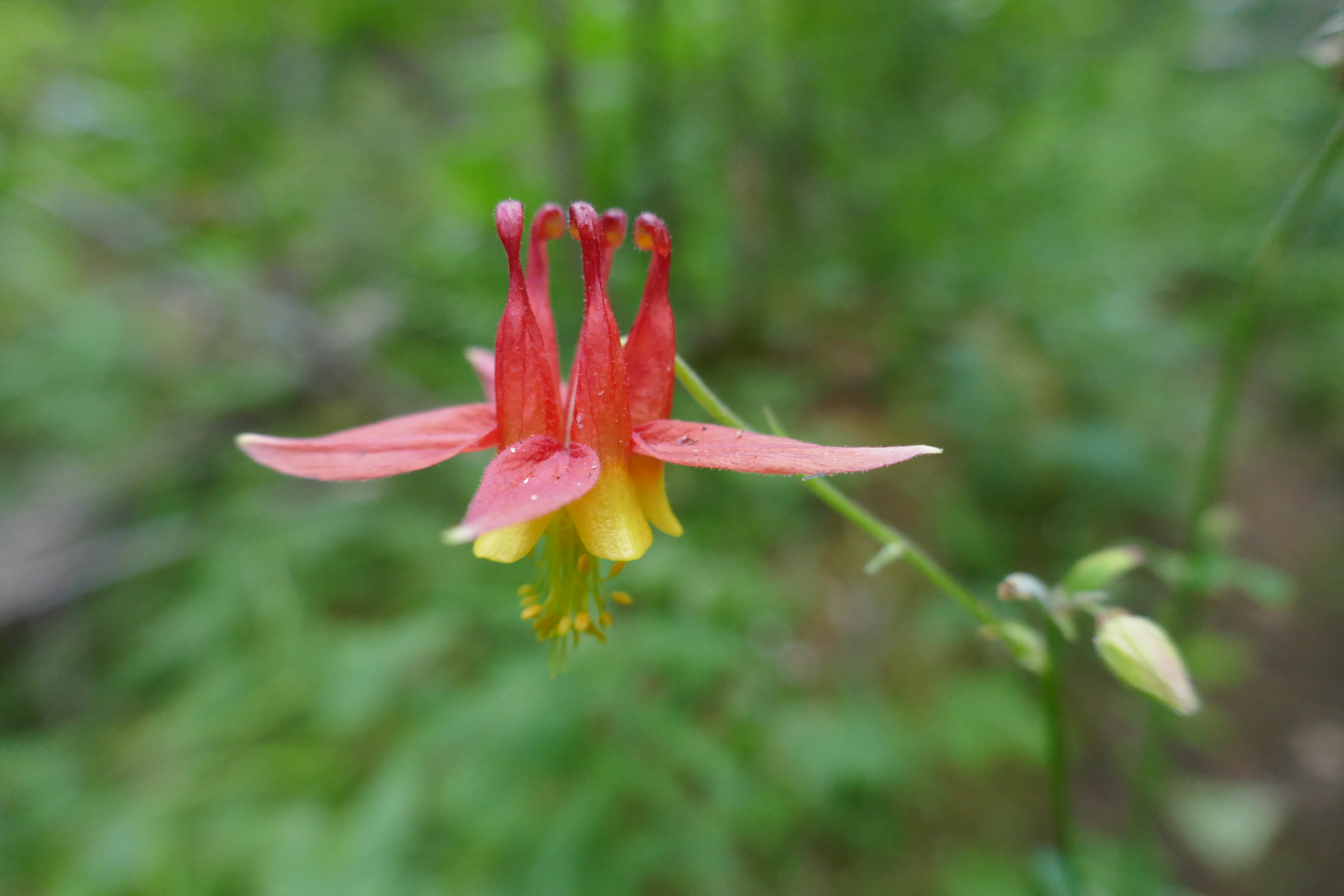
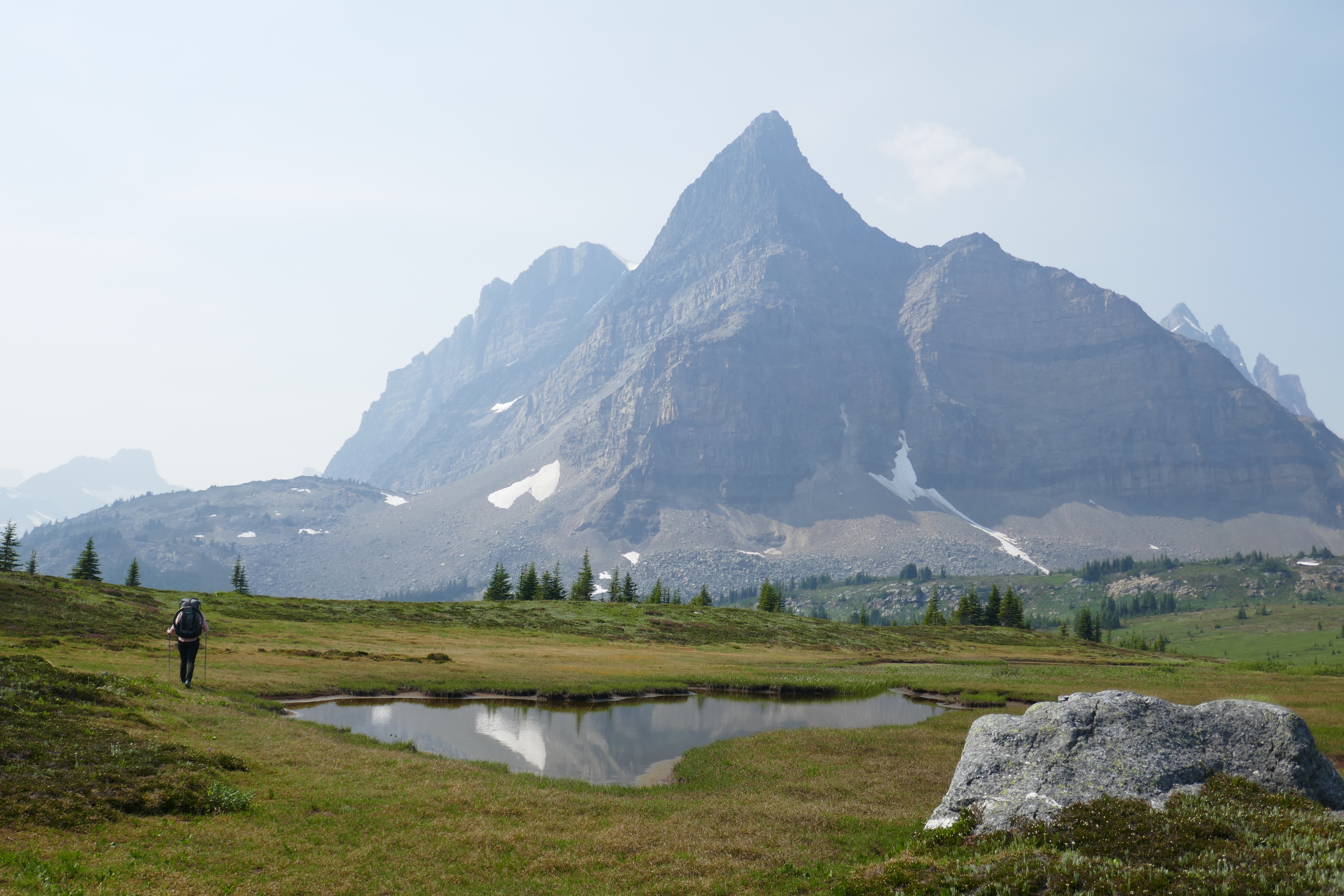
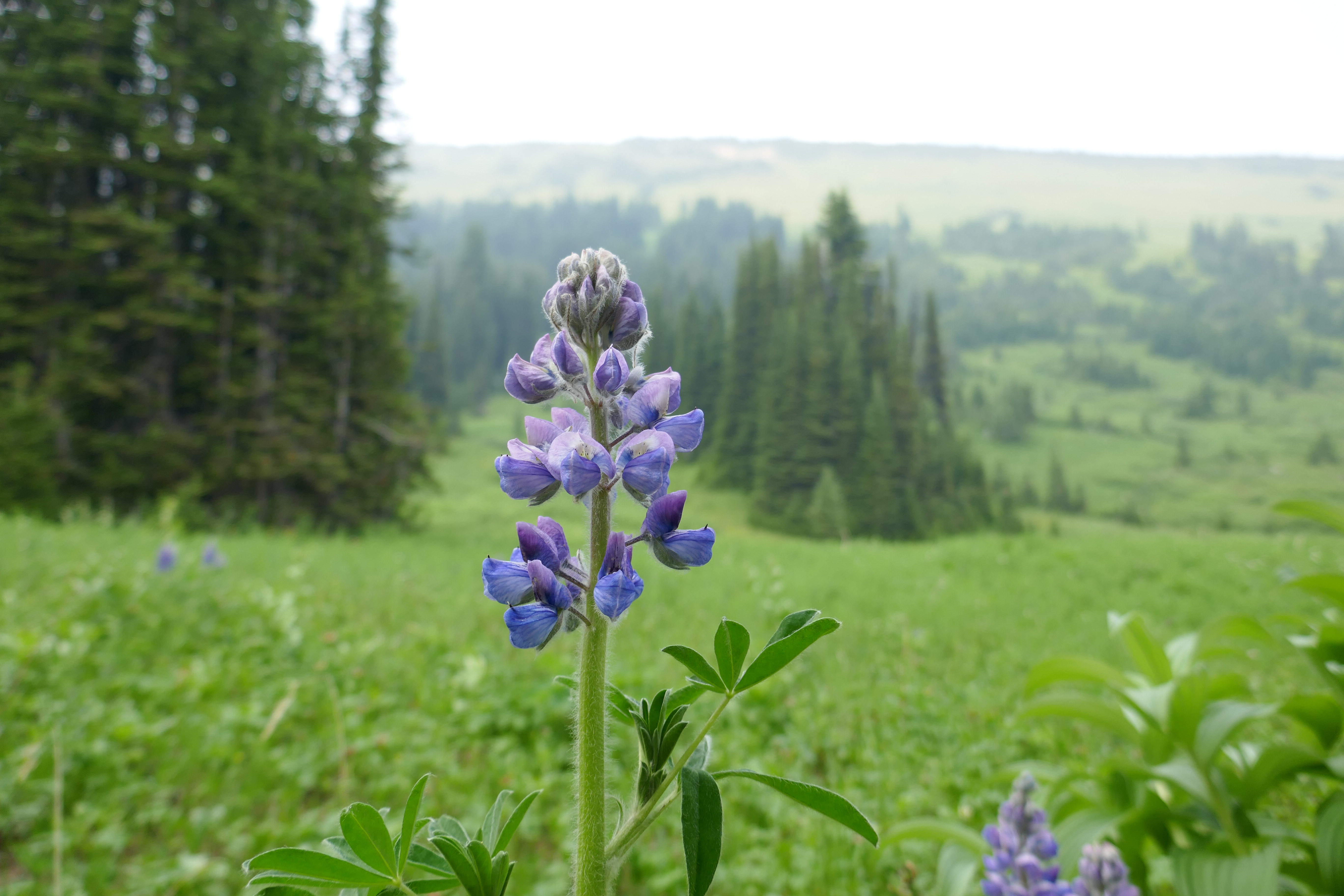
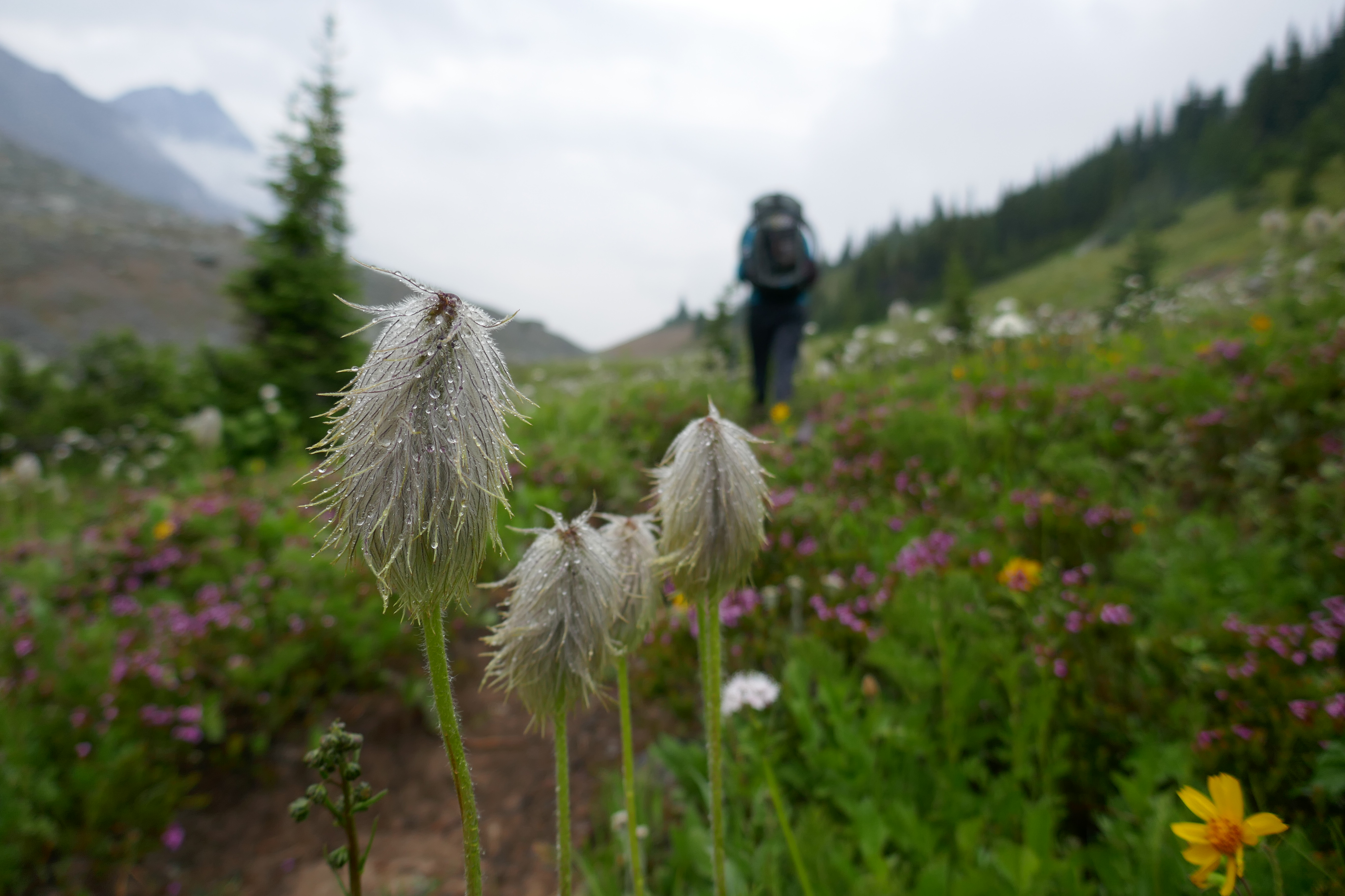
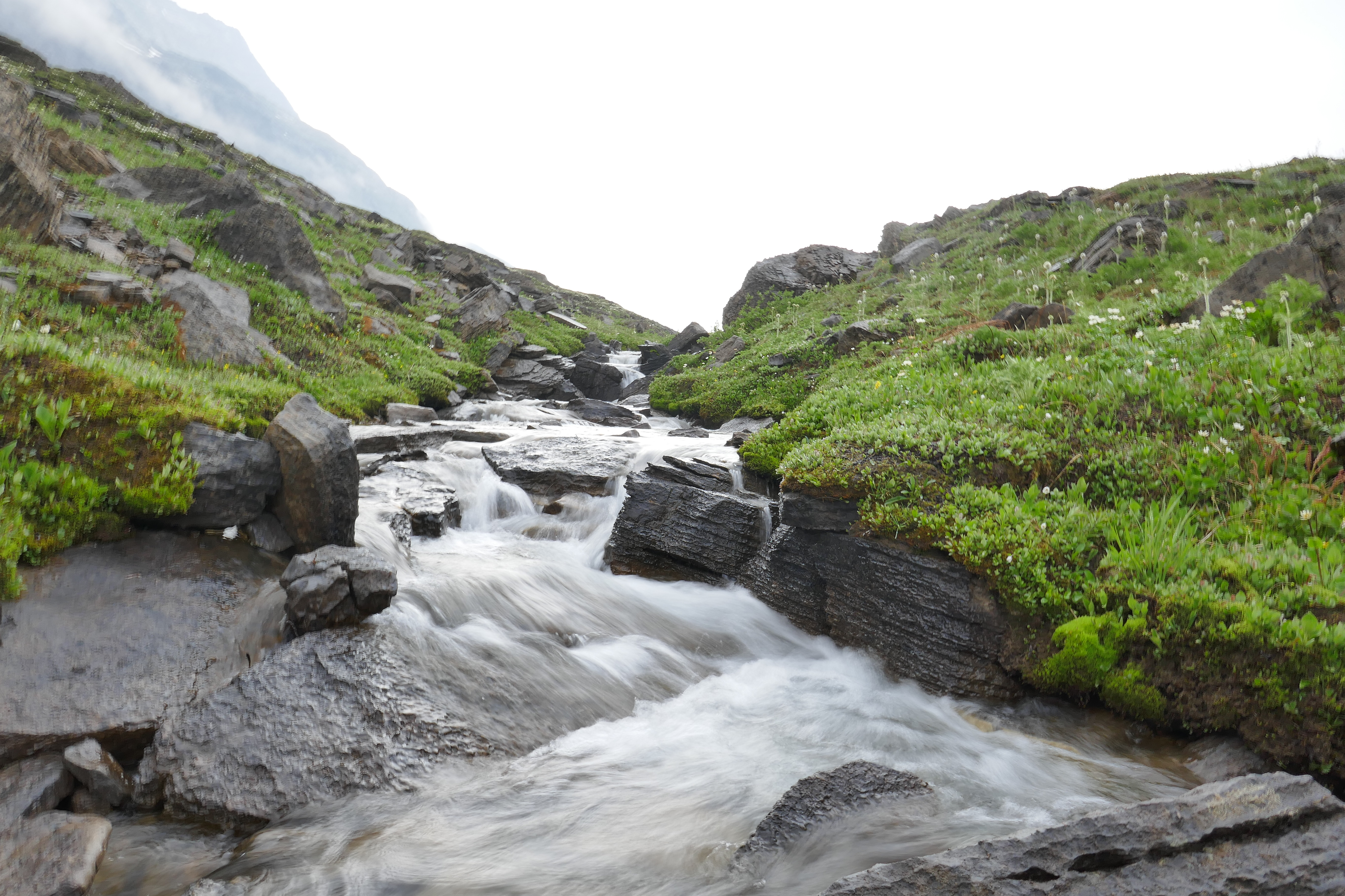
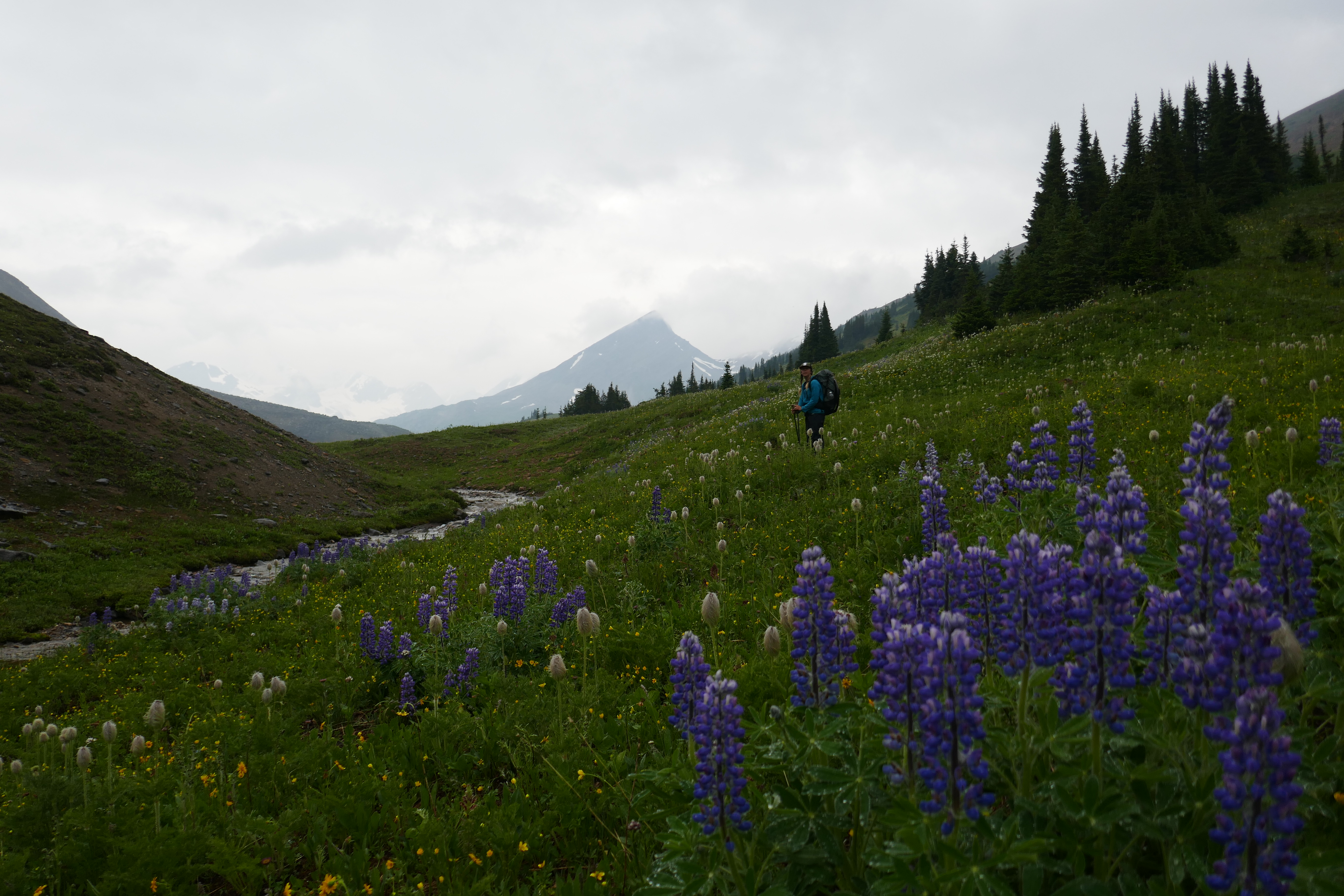
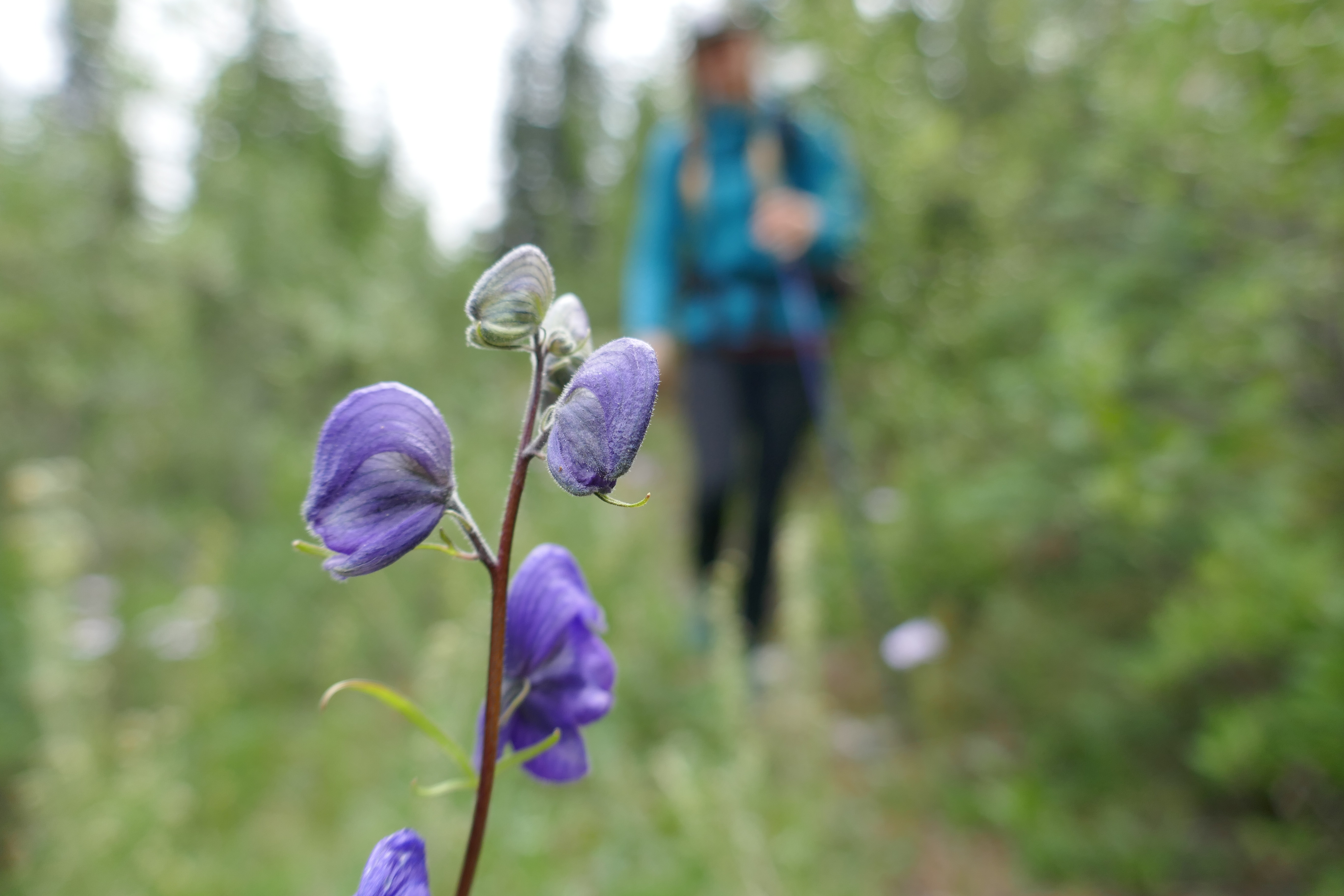
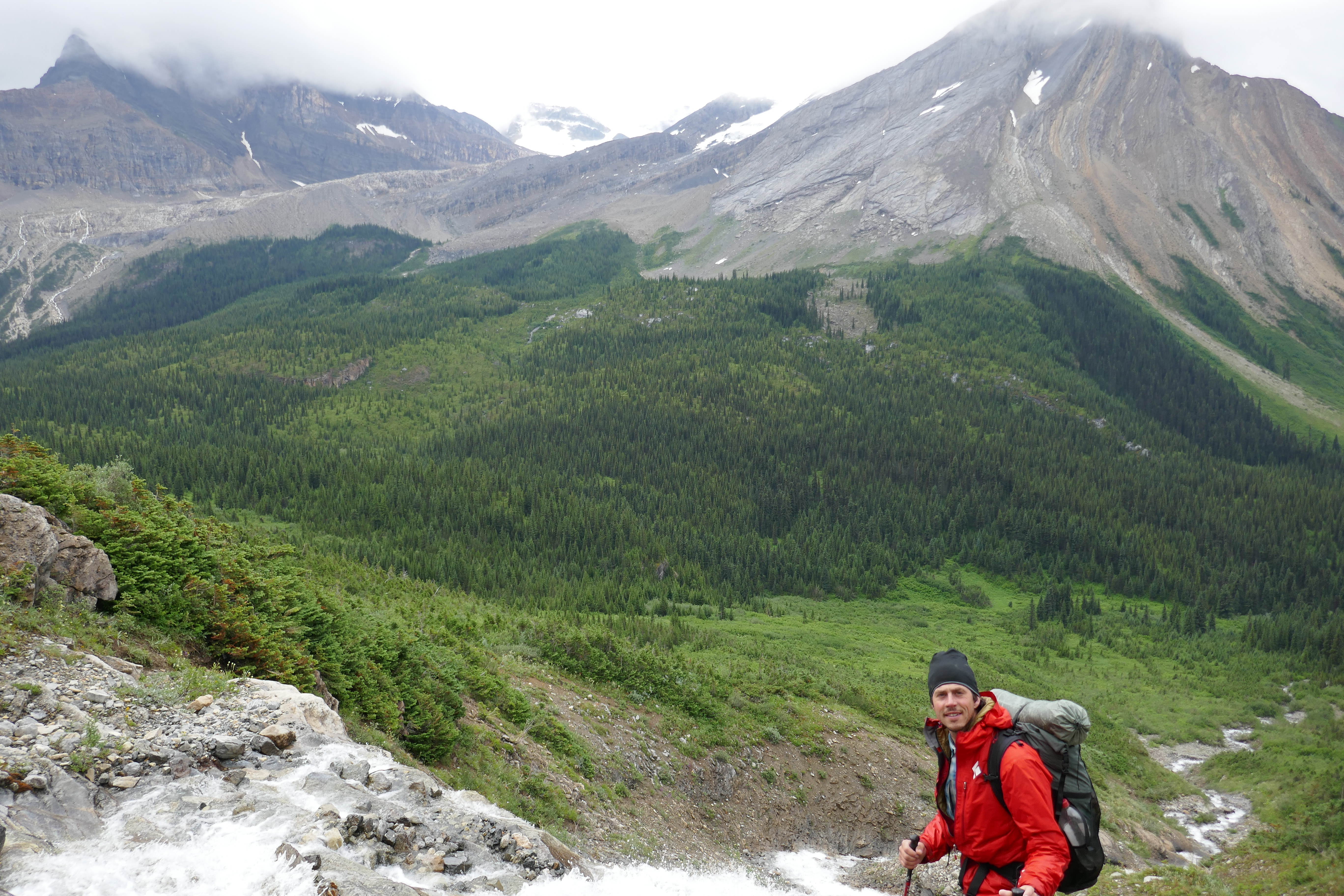
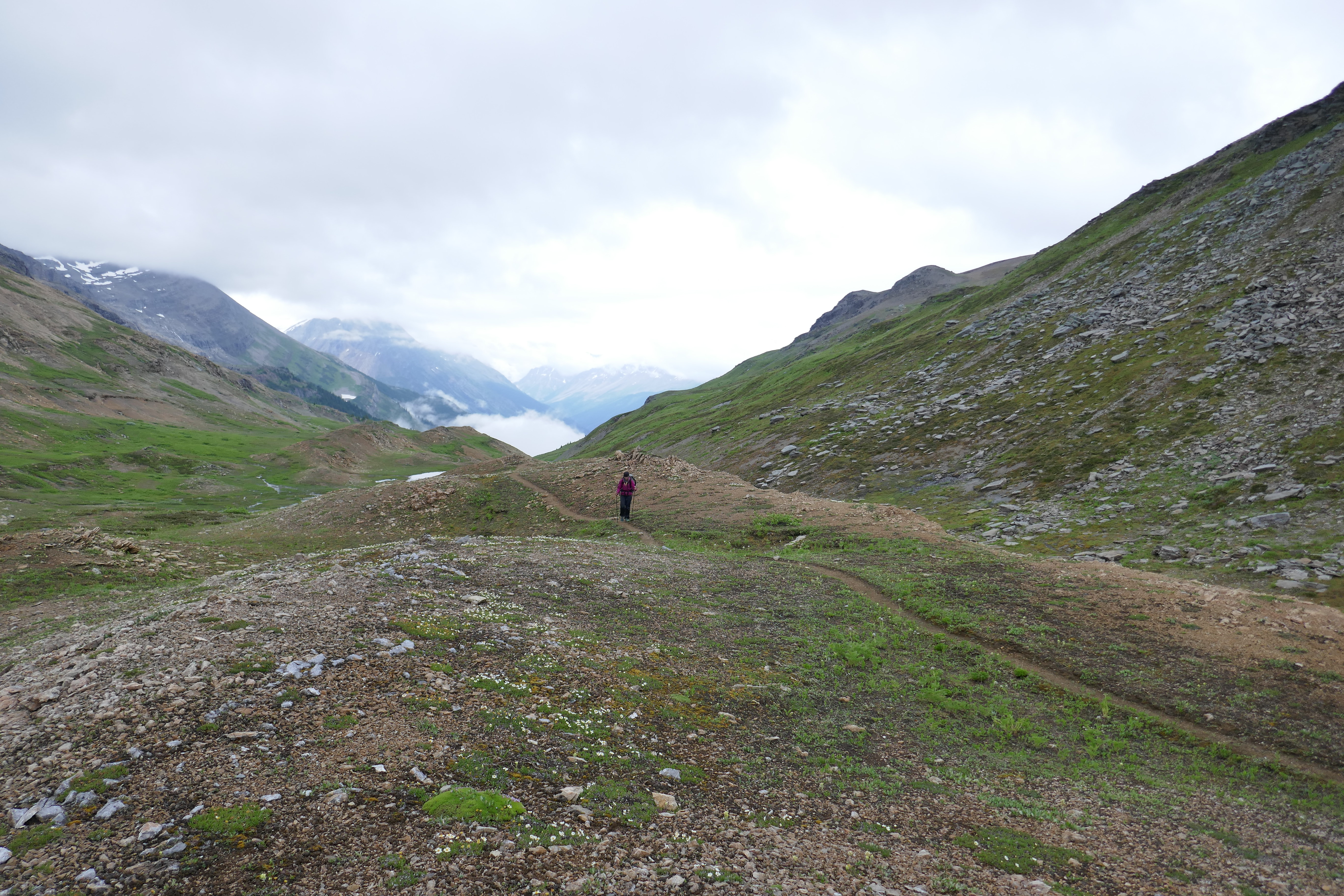
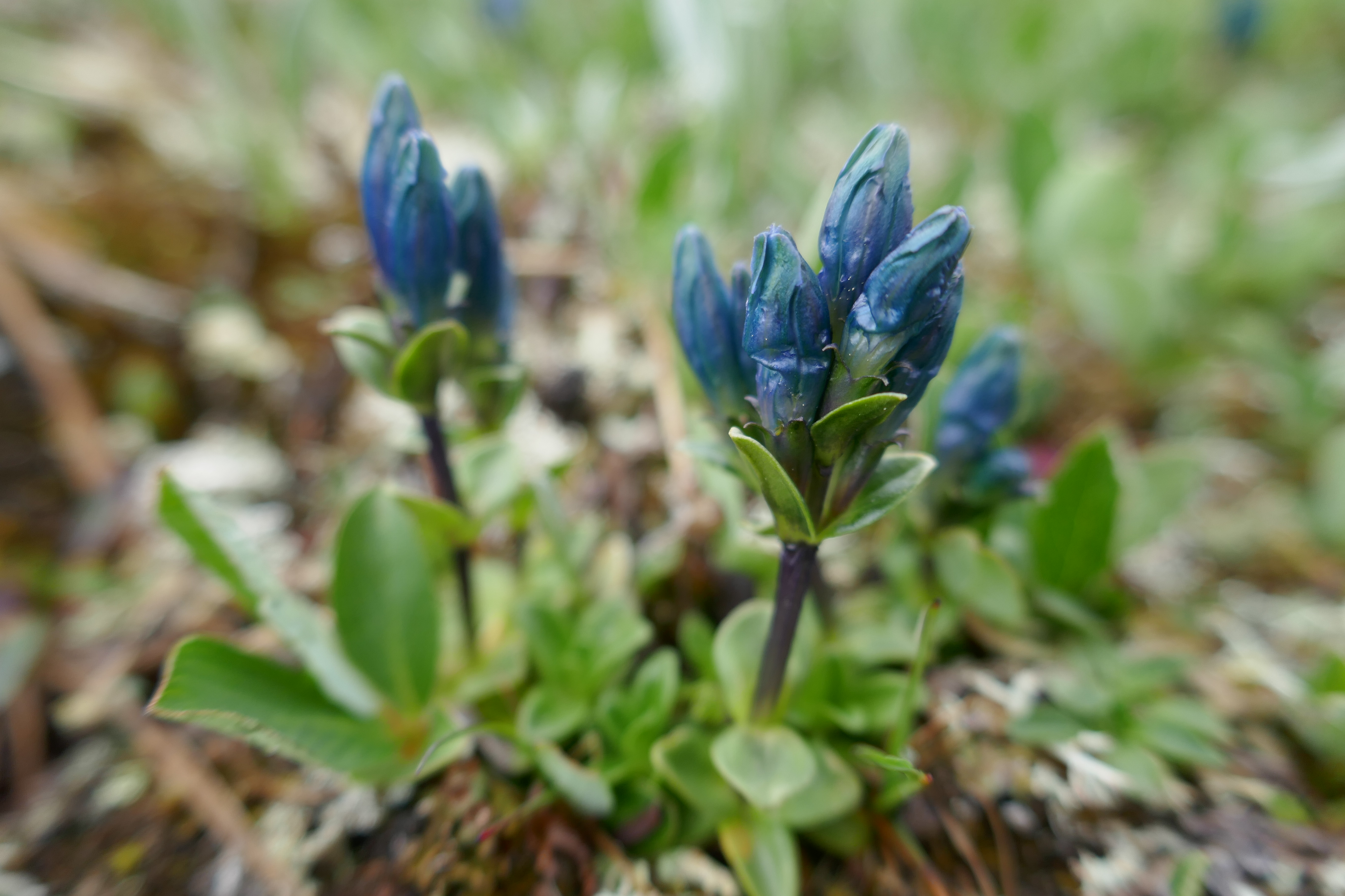
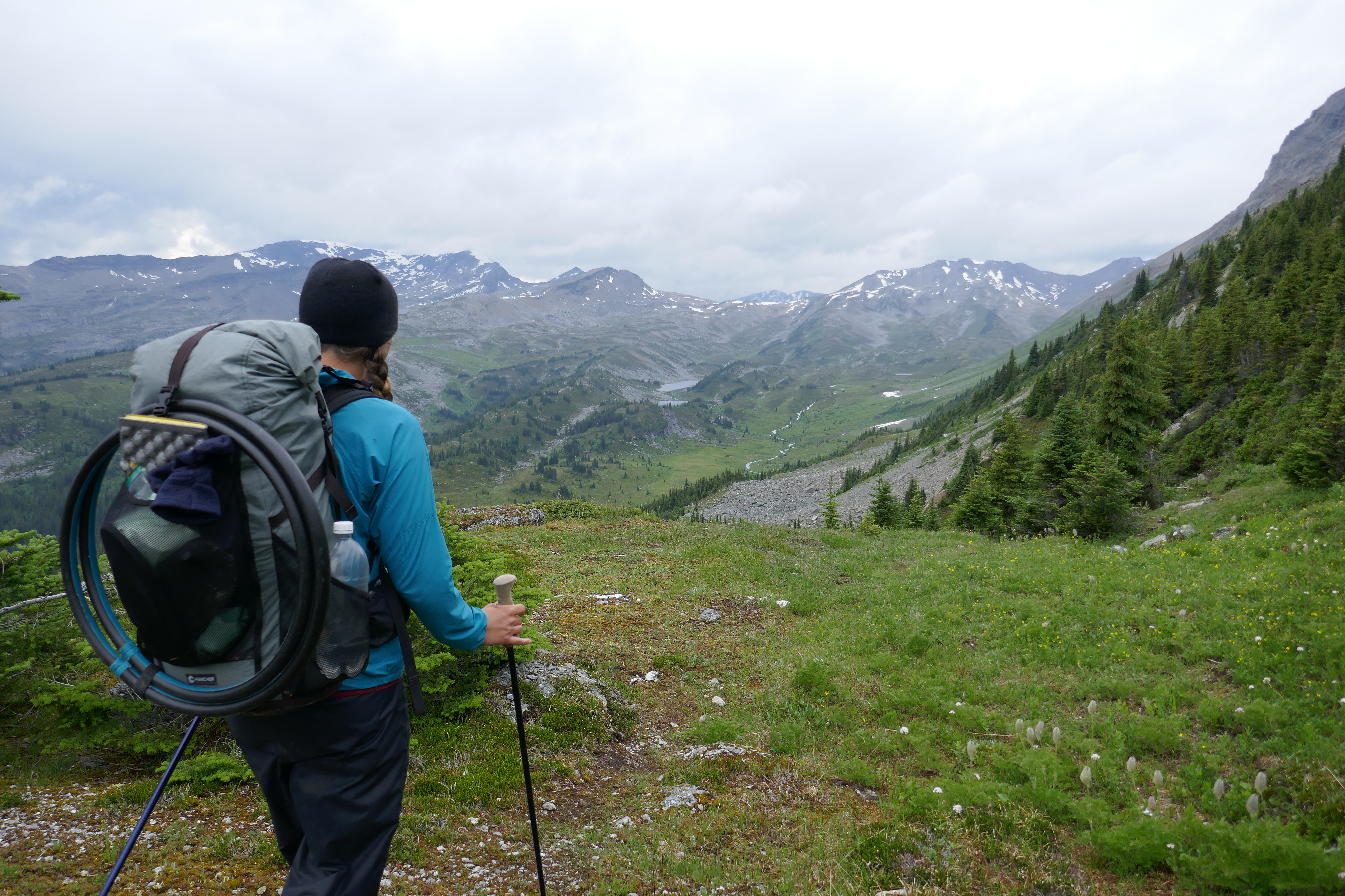
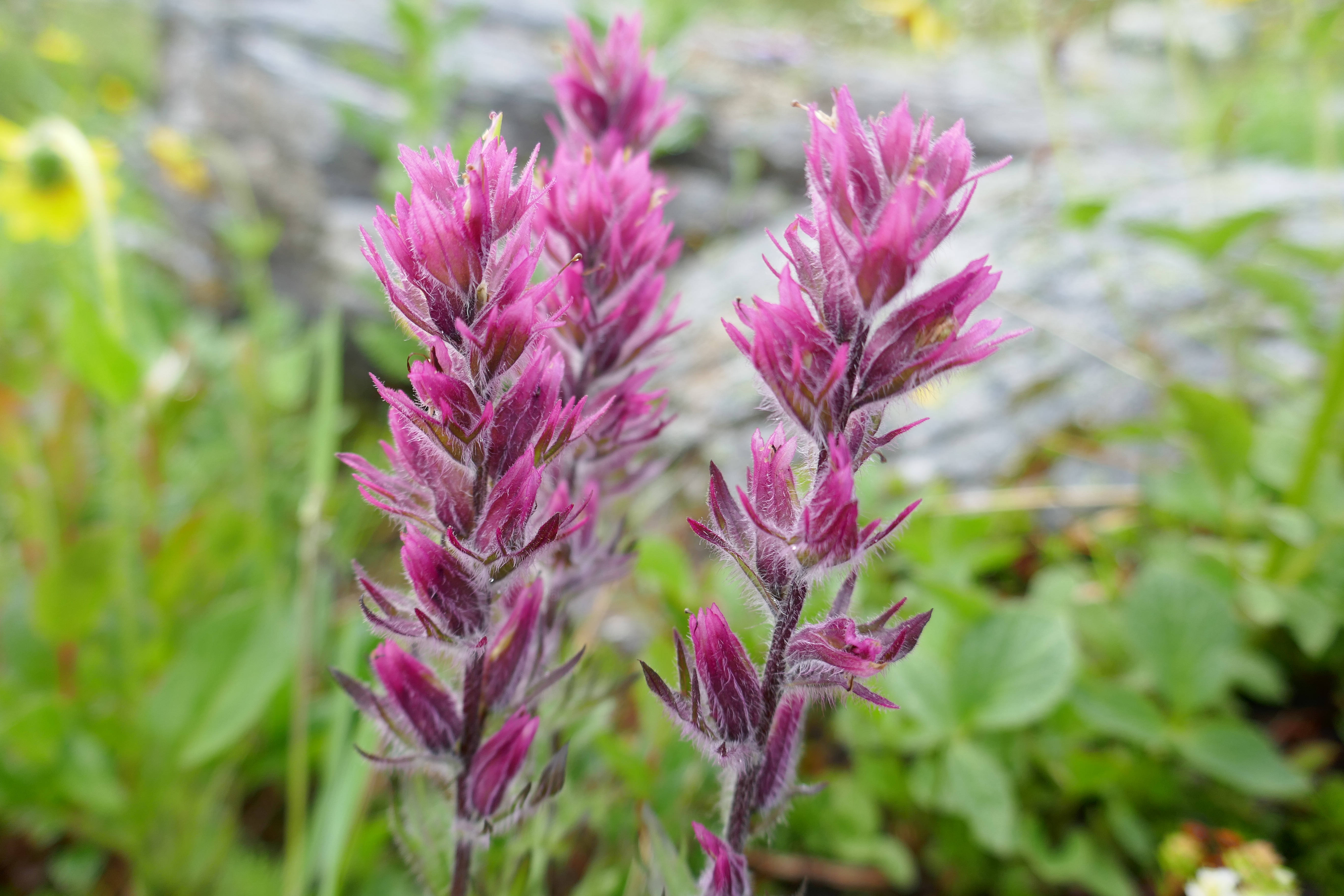
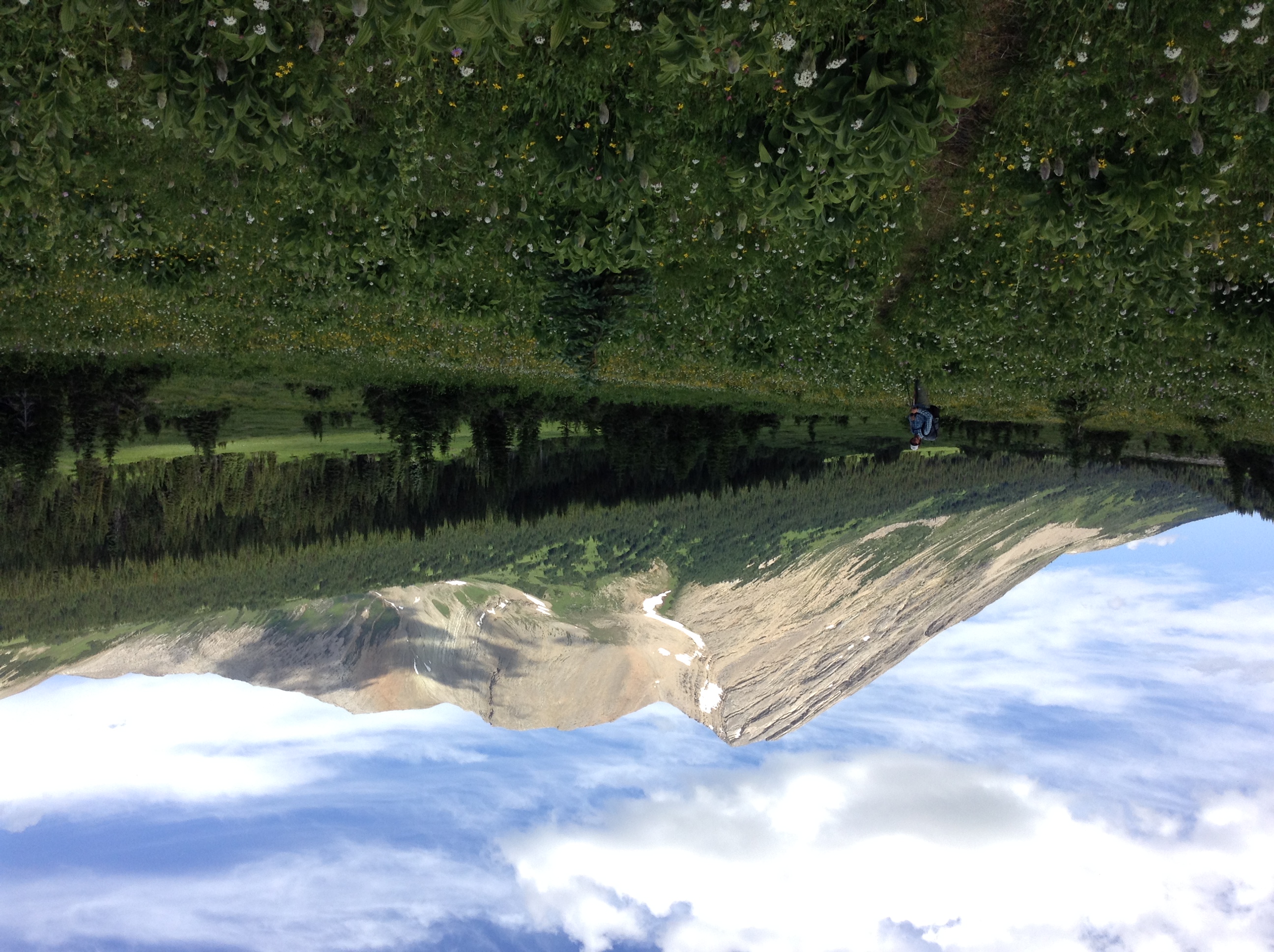
Despite the mud, we make great time, cranking 20 kilometres by lunch. We eventually make it over Miette Pass, into the alpine, and into Mount Robson Provincial Park! We walk the expansive, never ending, flower ridden meadows forever and ever and ever…and my mood lifts to a high like no other. I get lost in the daisies, the pink heather, columbines, western anemones, and everything else miniature with petals.
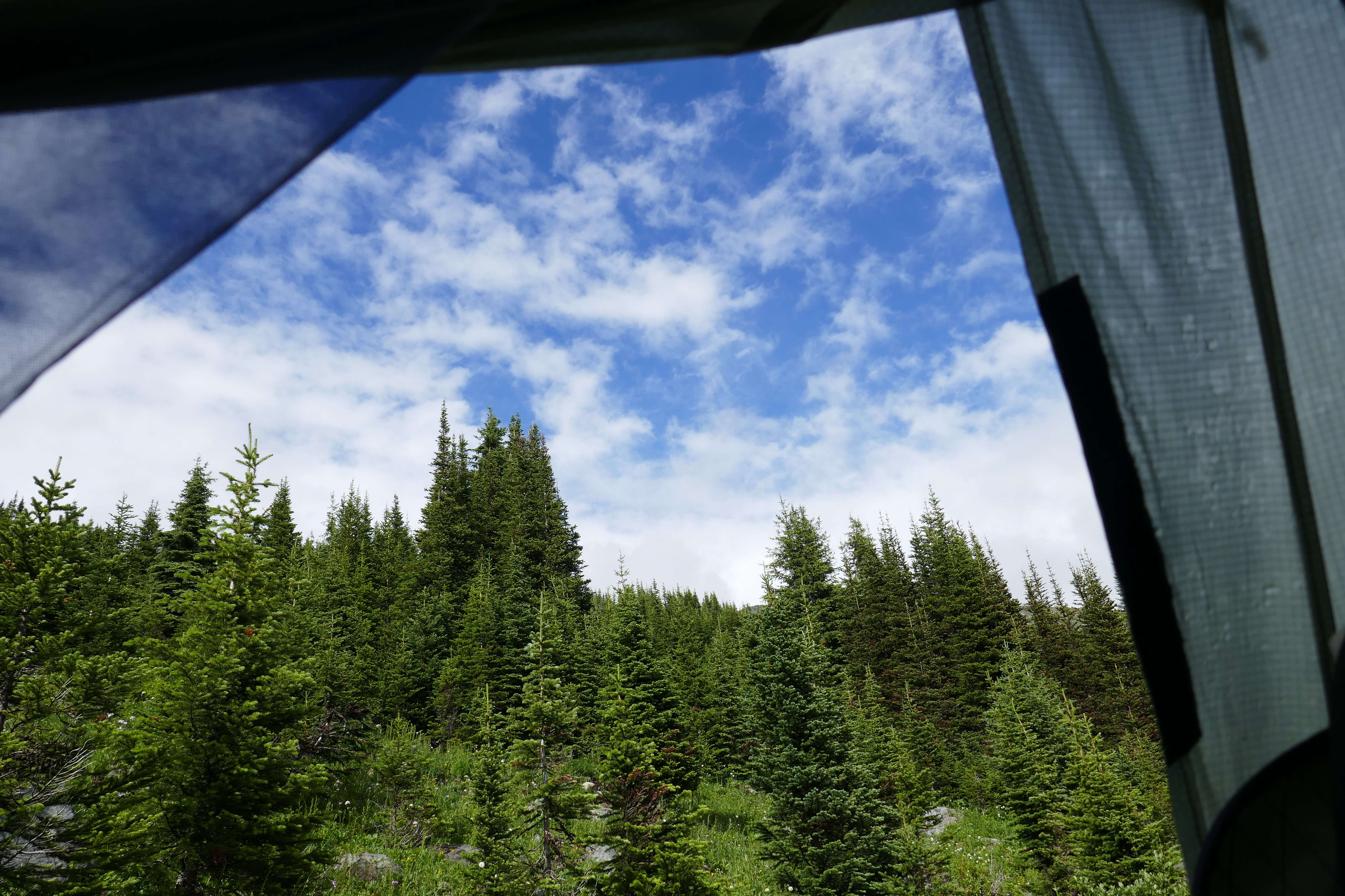
It’s still really smokey out here, but we can make out prominent, rugged, wild mountains all around us. We descend slightly, and camp by mosquito-ville pond. I hide in the tent, while Dan successfully fixes my sleeping pad. Thank you Dan!
July 19 – 912-939 (27km)
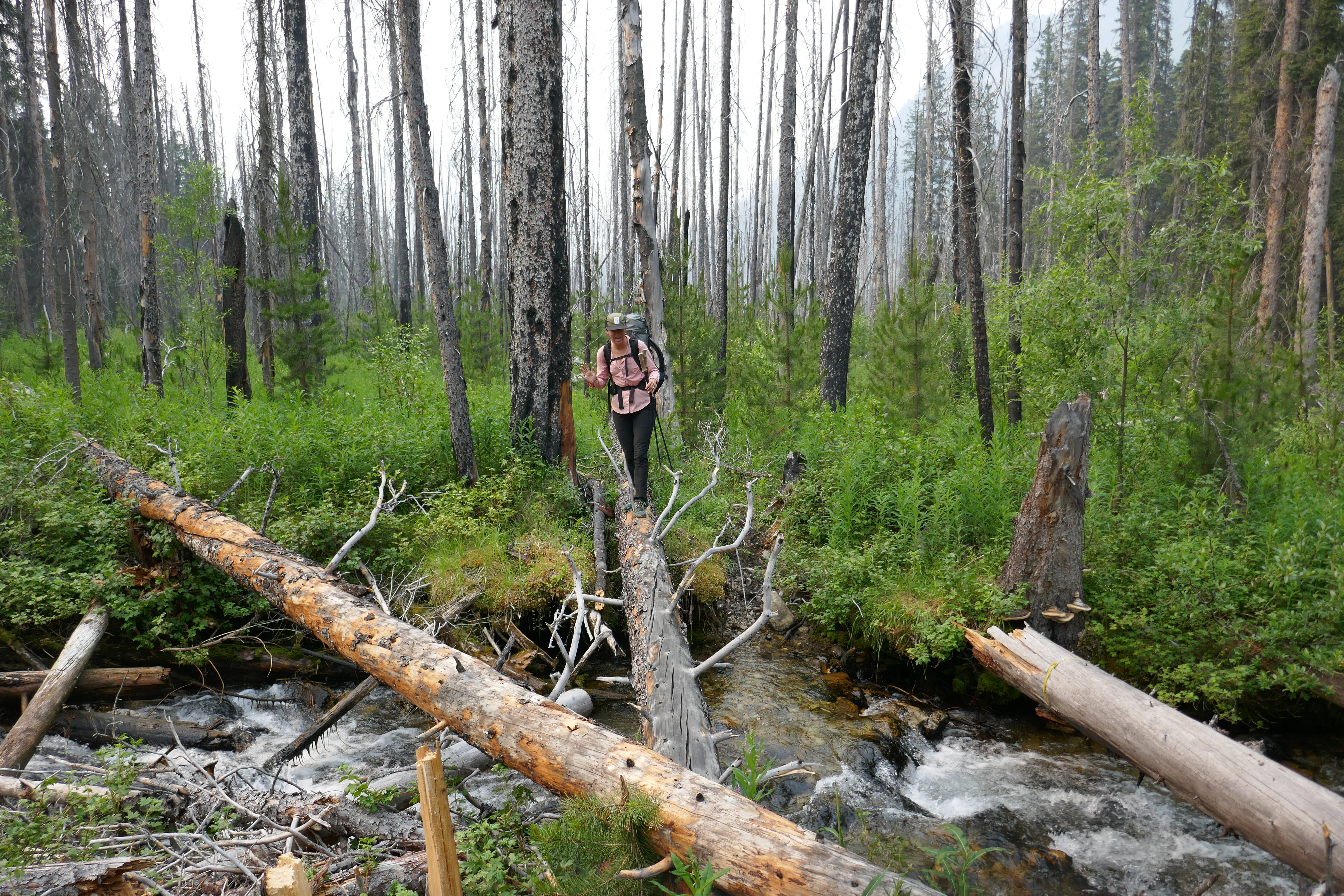
The morning light is a smokey haze – a red sun, casting an orange hue on everything. The forest fires in the area are out of hand. Fittingly, we happen to be walking through an old fire area from ’98. Forest fires past and present – it’s beautiful, but sobering.
Suddenly ahead, we see 2 hikers coming the other way…SOBO’s (south-bound hikers)! We excitedly meet Bill and Pitbull – two hikers that started 8 days ago, and who supply us with lots of beta on the upcoming trail. We are so grateful for their tips and company!
Down down down we go to Moose River. It’s beautiful, but the trail turns horrendous. We lose the trail completely, and find ourselves wading through a warm, smelly bog.
So. Over. Hiking. Today.
All in all, I love thru-hiking. It’s so immersive and consuming and pure. I mean, I would be crazy to keep doing these hikes if I didn’t love it! But sometimes, I just cave. The mosquitoes. The bogs. The spotty navigation. The fatigue. It’s like all the cards are against me and I forget my “why.” But it’s still there…kind of tiny for now…but there.
Alas, here I am, stuck in the valley bottom that is Moose River, fording back and forth, stuck in the mud.
Mud. Mud. Mud.
I begin to cry as we start a sweaty, humid ascent, my resolve fading, my will cracking…
20 minutes later, we’re in the alpine. Silly Fox! You’ve played this game before! My tears remain, but turn to happy, grateful, overwhelmed tears. This landscape! These alpine lupines! The lack of bugs in this fresh, moving, mountainous air! We set up home by a frigid lake, which Dan bravely swims in – he’s a whole new breed of crazy that man!
Today, I love my warm tent…my down sleeping bag…a chance to rest for another day. Another precious, glorious, gifted day.
July 20 – 939-972 (33km)
Like any good thru-hike, if yesterday was a tough one, today the pendulum swings, and I’m feeling great! Straight into the alpine we go again, over Moose Pass and down we go again. A likely story, but my life as of late.
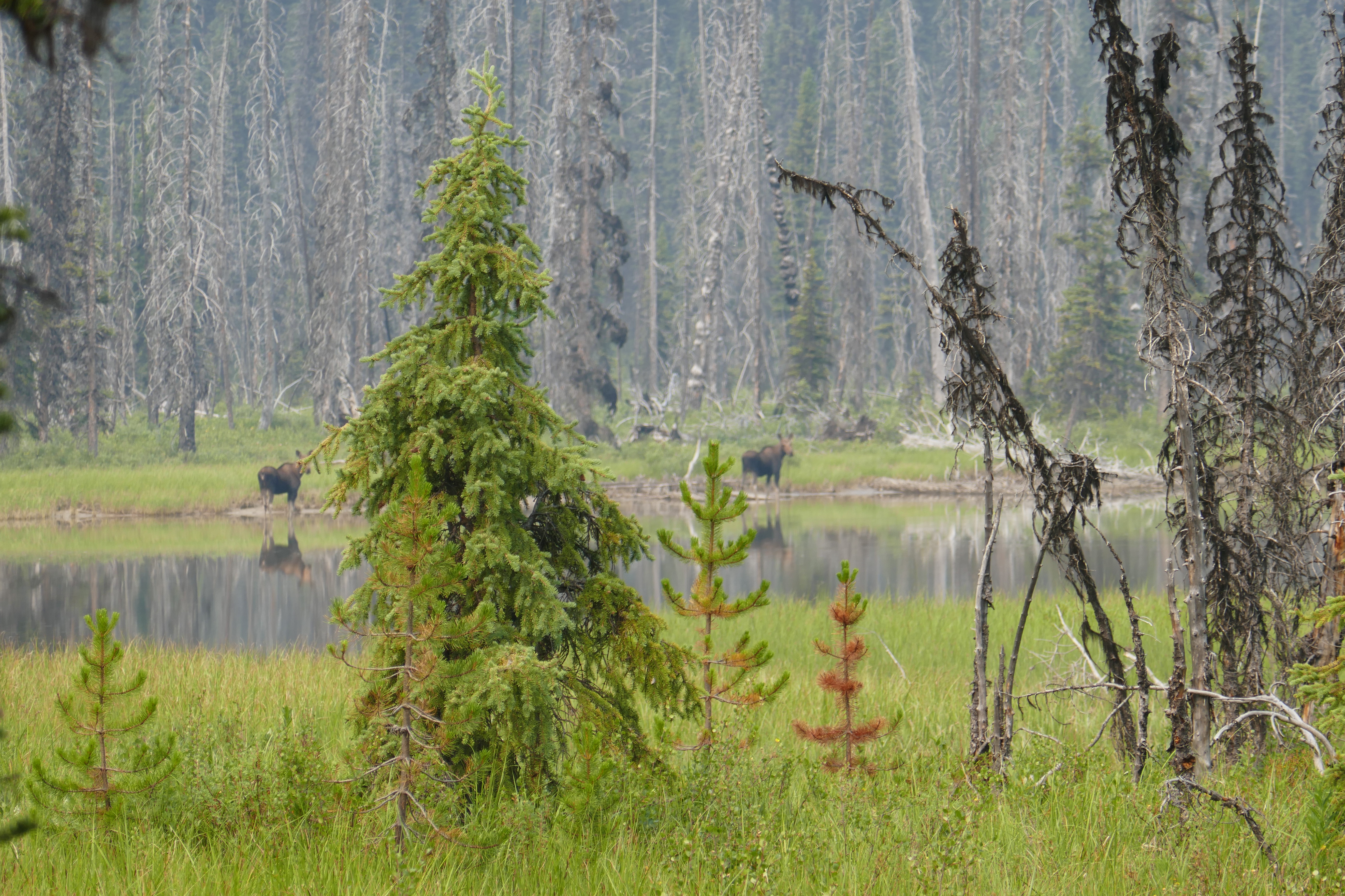
Later on, we crank some miles on the North Boundary Trail, which follows Smoky River on mostly flat terrain. Off in the distance, we see two moose, standing on the waters side, starring at us intently, but not phased.
During our ritualistic afternoon coffee break, the clouds roll in and little drips begin to fall. It turns to a steady pour, so we gulp down the bits of liquid gold caffein, and get moving.
Rains all day. Rains all evening. Rains all night.
We are warm in our tent. HOME. SWEET. HOME.
July 21 – 976-966 (24 GDT Kms; actual 26 Kms)
I’m not exaggerating when I say that the rain miraculously stops MINUTES before we emerged from our den! I am so happy about this, as we have a tough day planned as far as high alpine travel goes. So far so good!
10 minutes into hiking, we bump into Jules and Case, just beginning to stir. “Yay, our friends!” Case sleepily says. “Out of bed you slackers!” Dan responds. Turns out we are on different time zones, and while we thought we were waking them at 7:30, it was actually 6:30. Oops! Sorry girls…
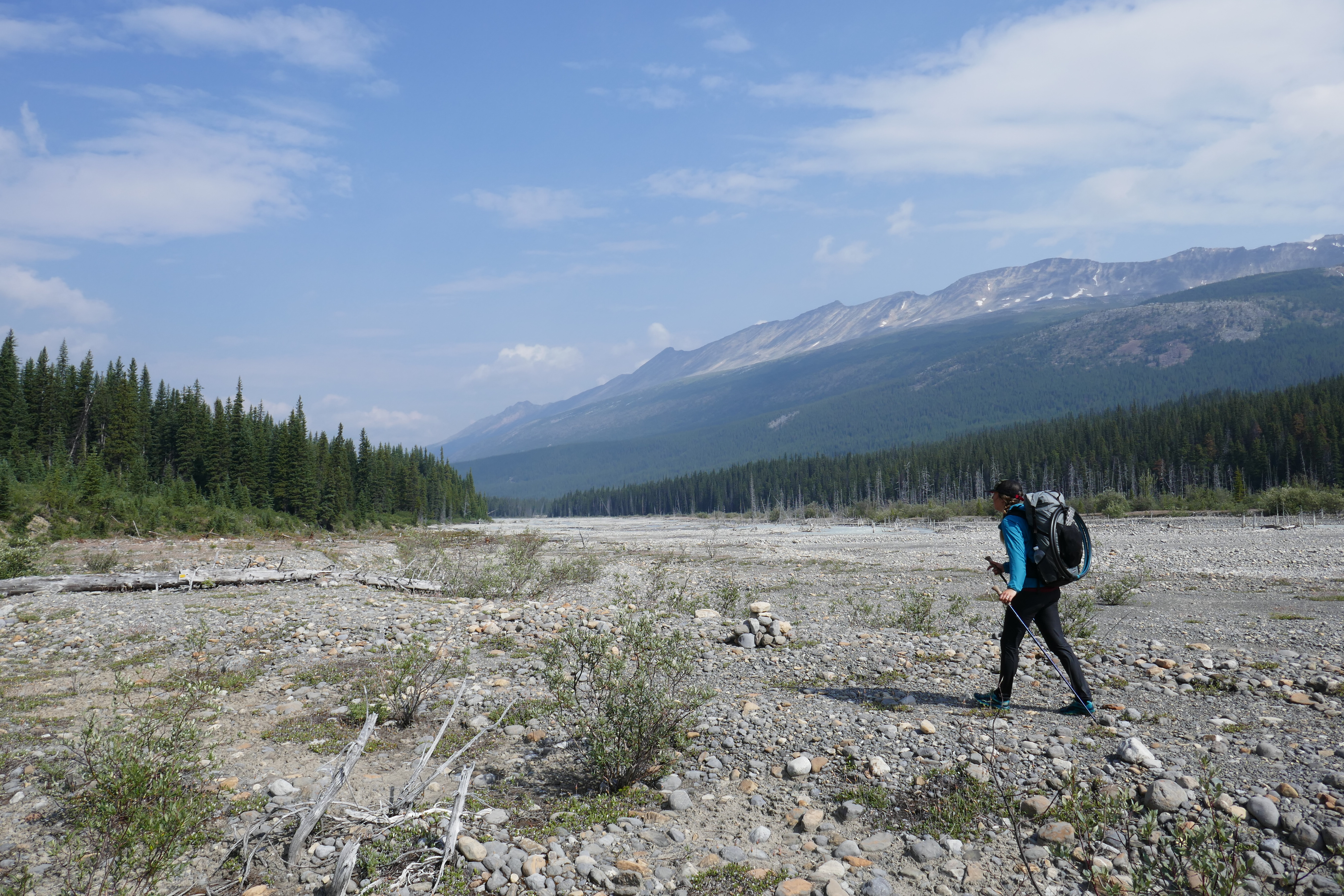
We part ways, sure to see one another down the trail. We do a dreadfully early ford of Chown River, which happens to be unbearably frigid! The channel was wide, the water was fast, and I was in there way too long. I cried my way across, willing my balance to steady me, and my feet to move faster. When I finally reached the bank, I could hardly walk.
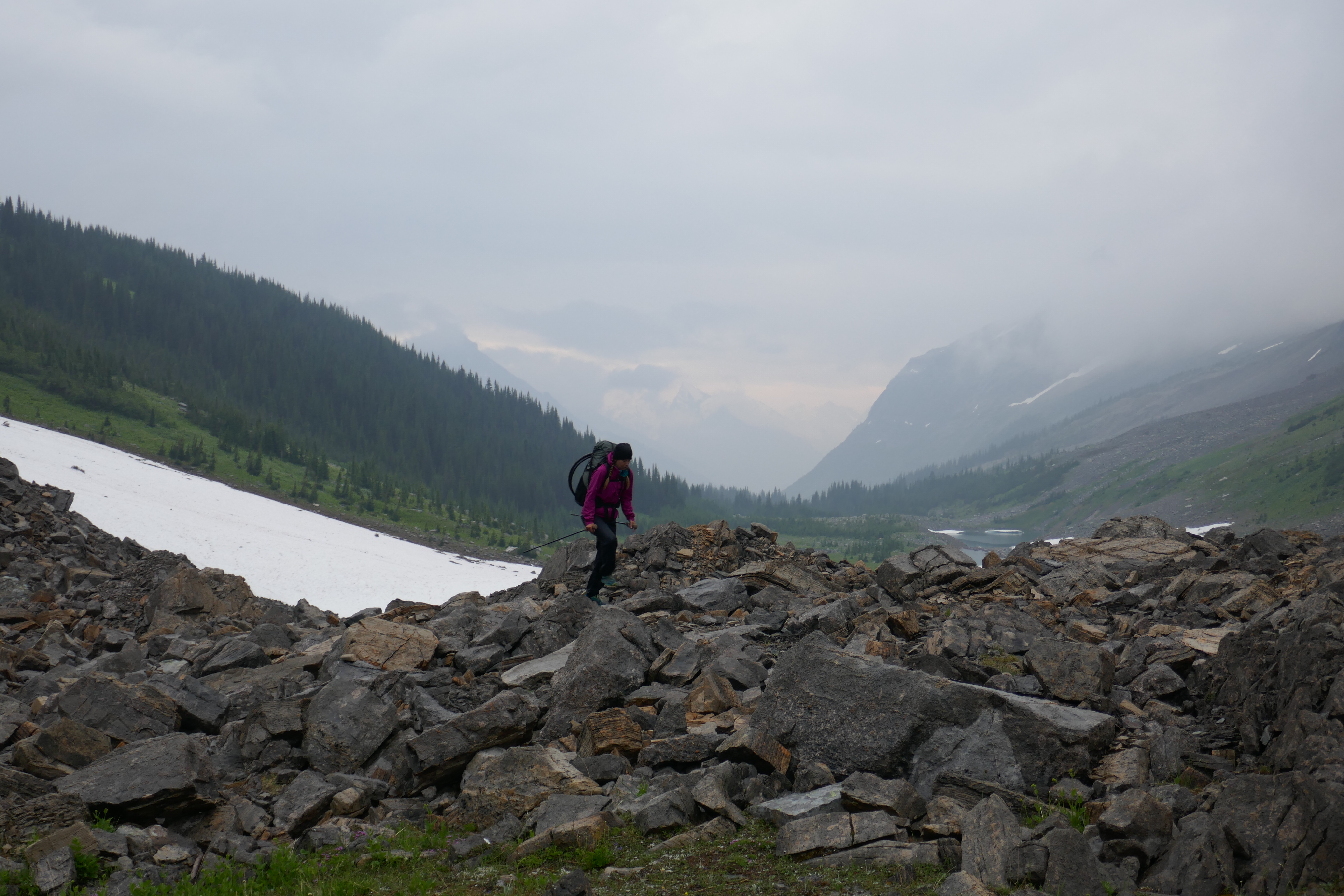
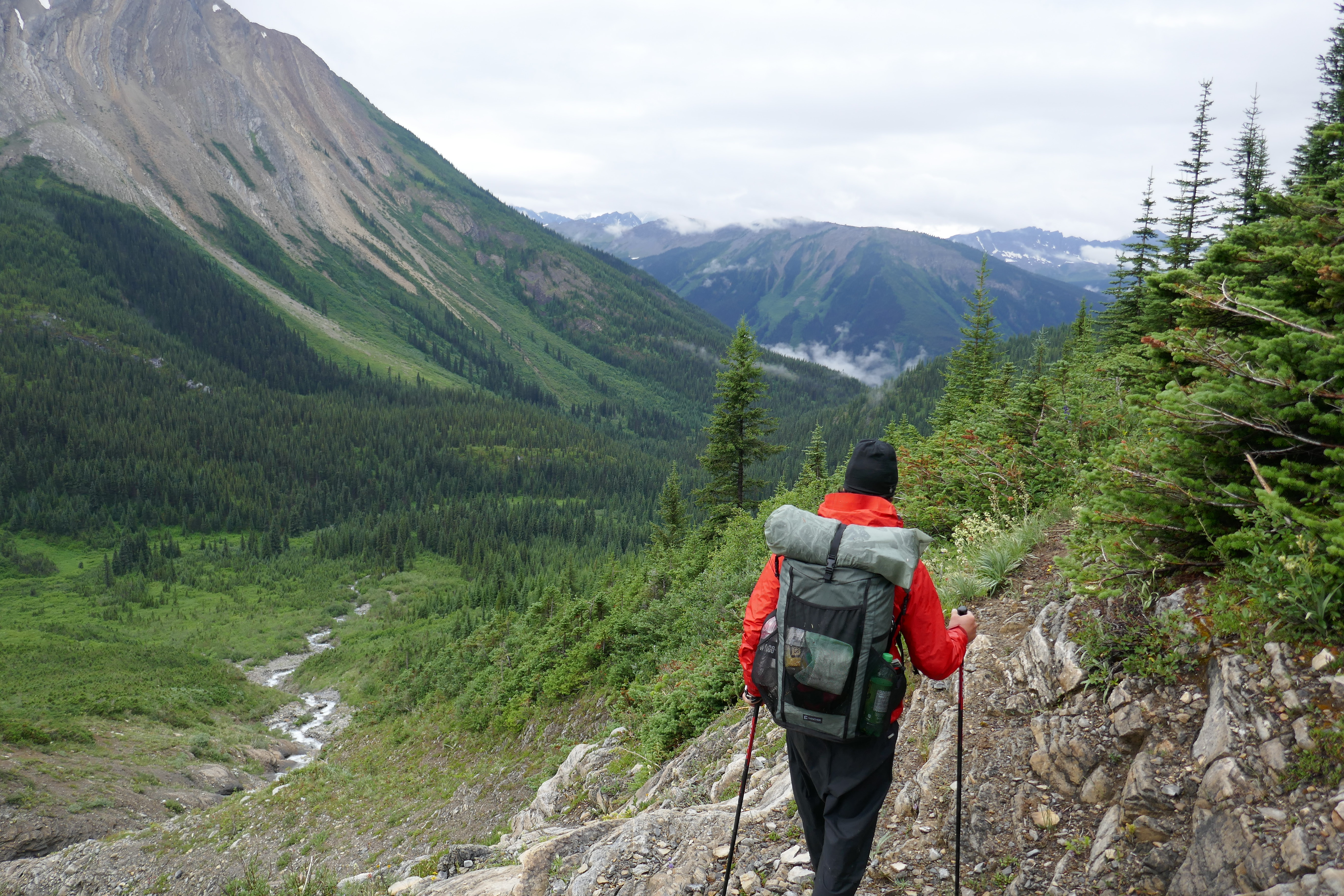
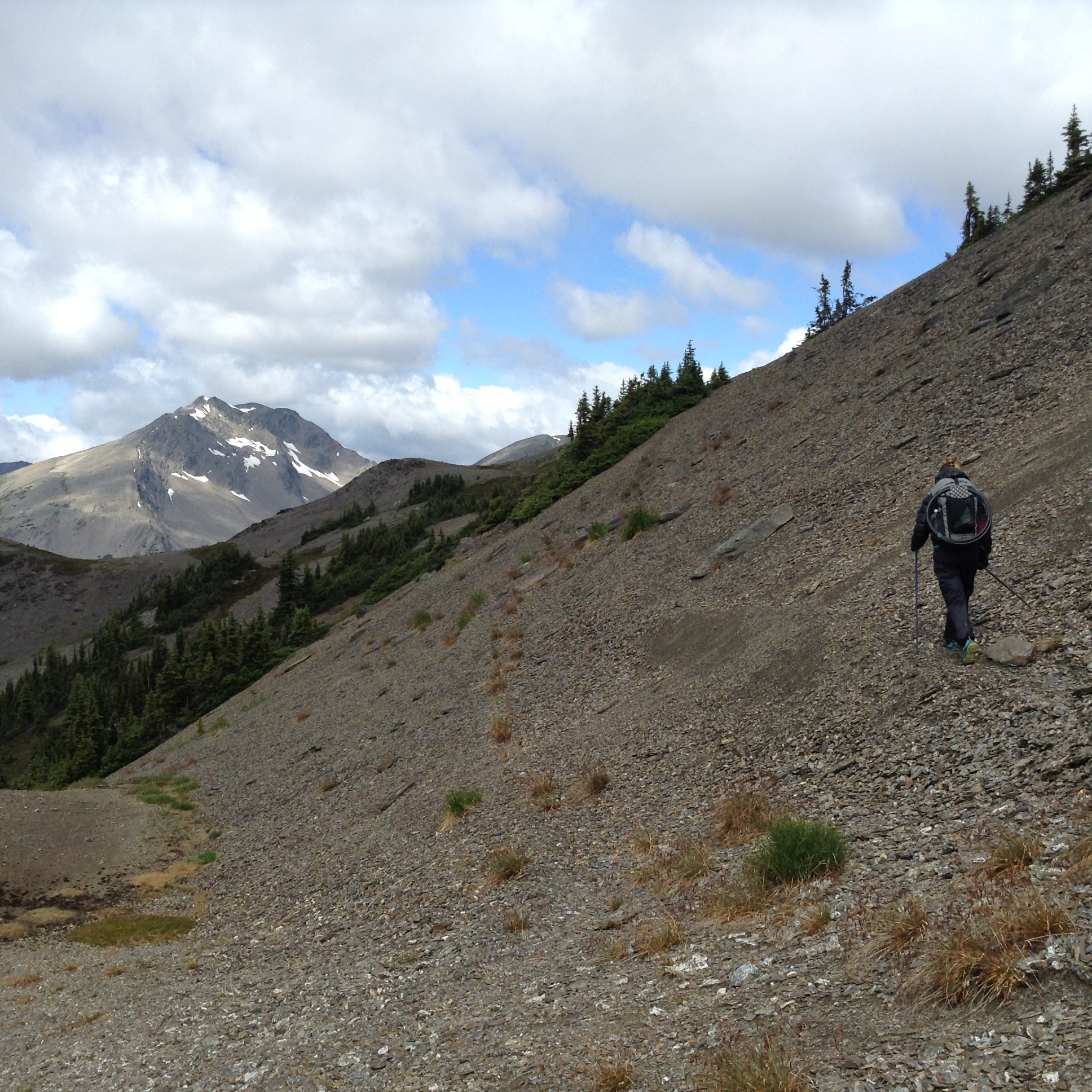
We start a big ascent back up into the alpine on trail that is quite bushy. We were going through the “car wash” HARD. Soaked! It’s a really cold day, so moving uphill is a welcoming way to warm ourselves a bit. After Bess Pass, we descend slightly, then right back up to Jackpine Pass.
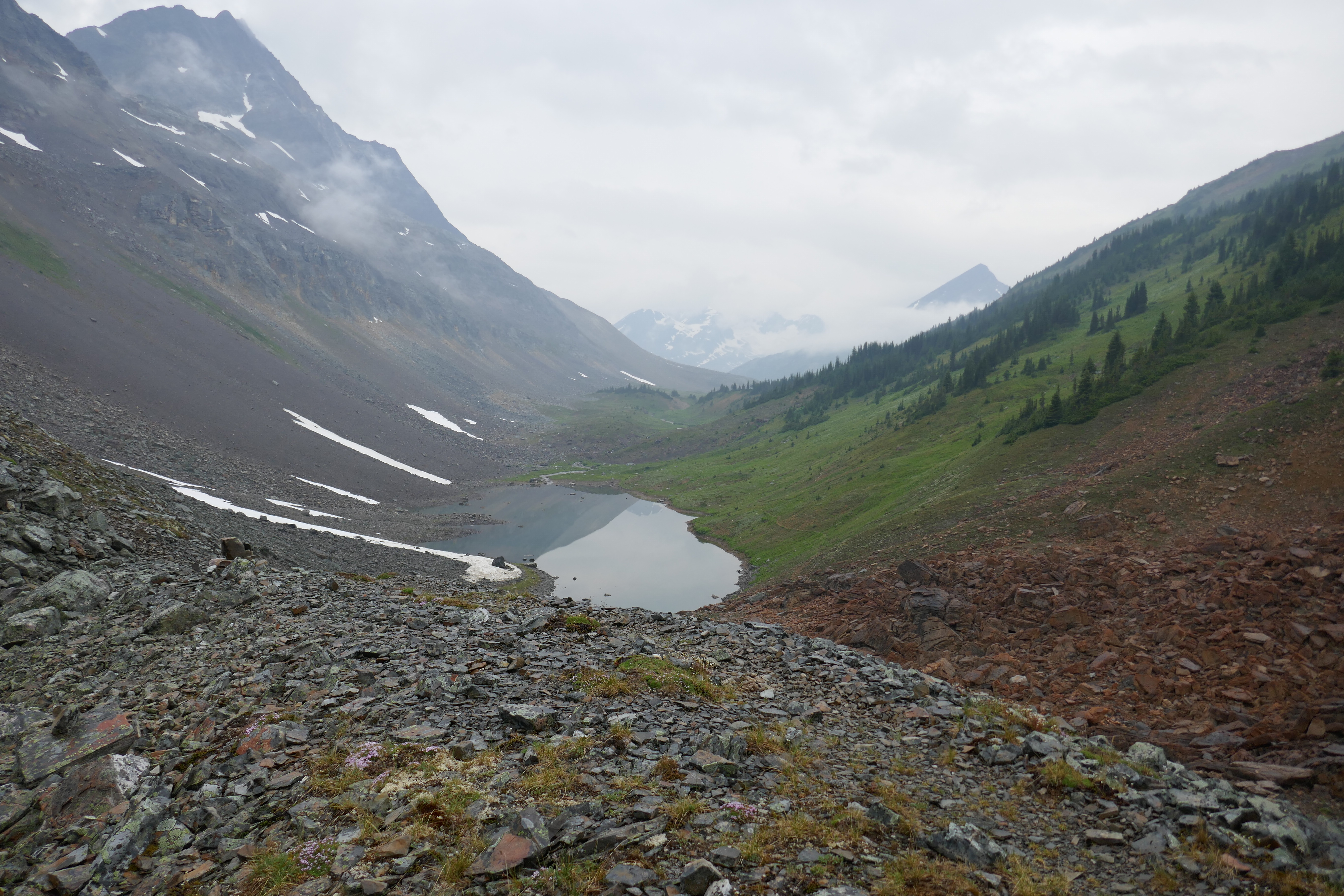
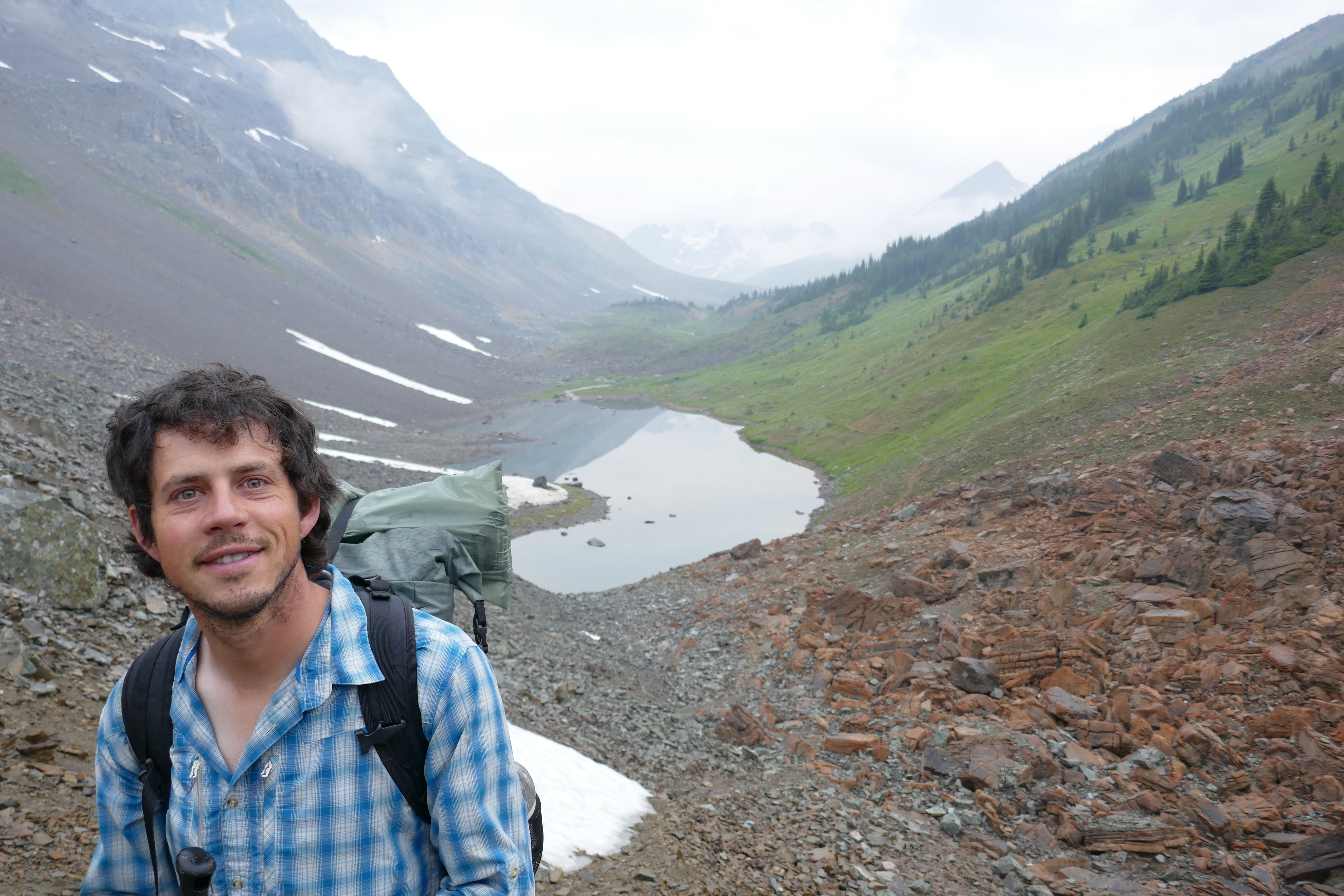
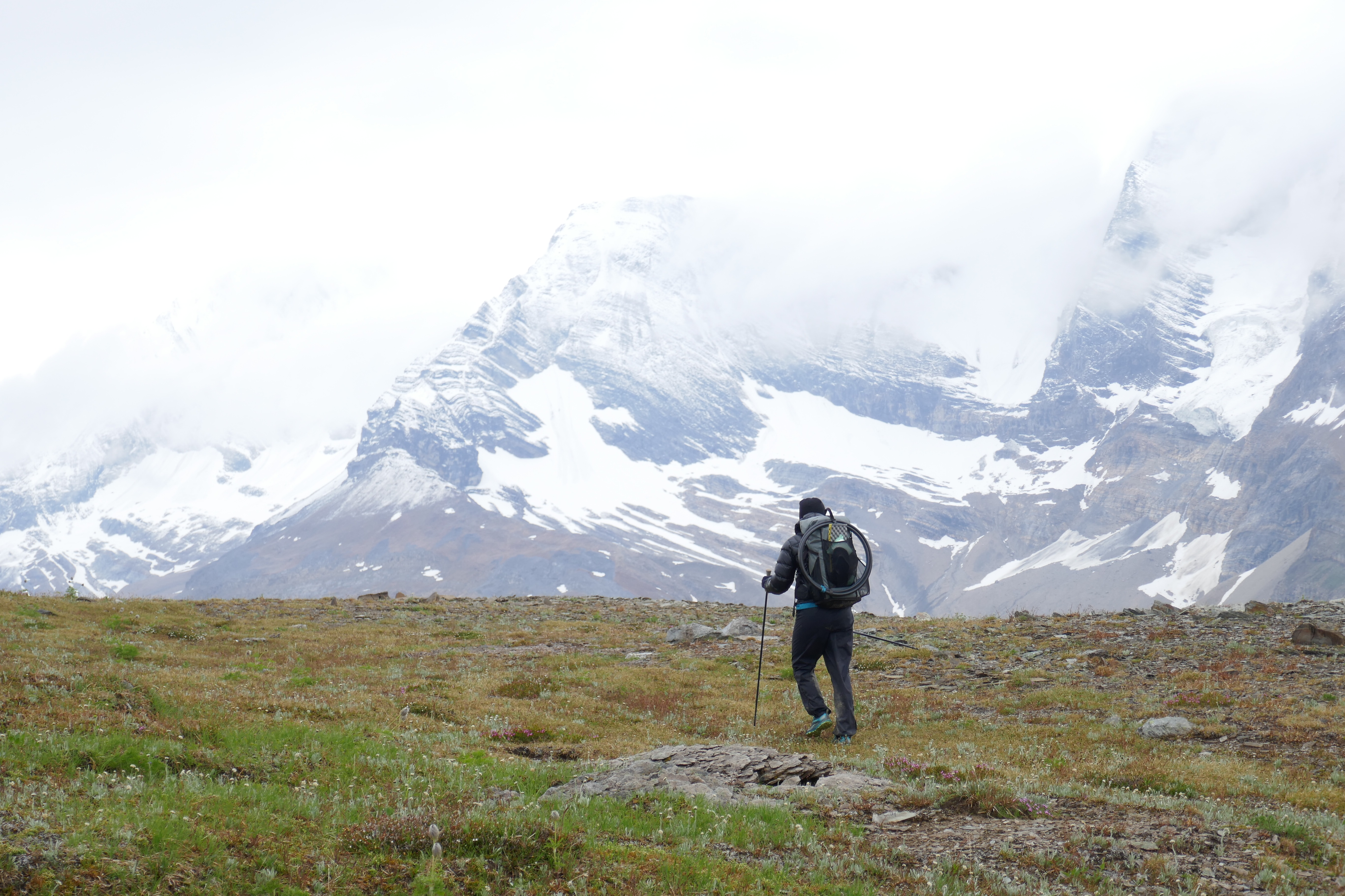
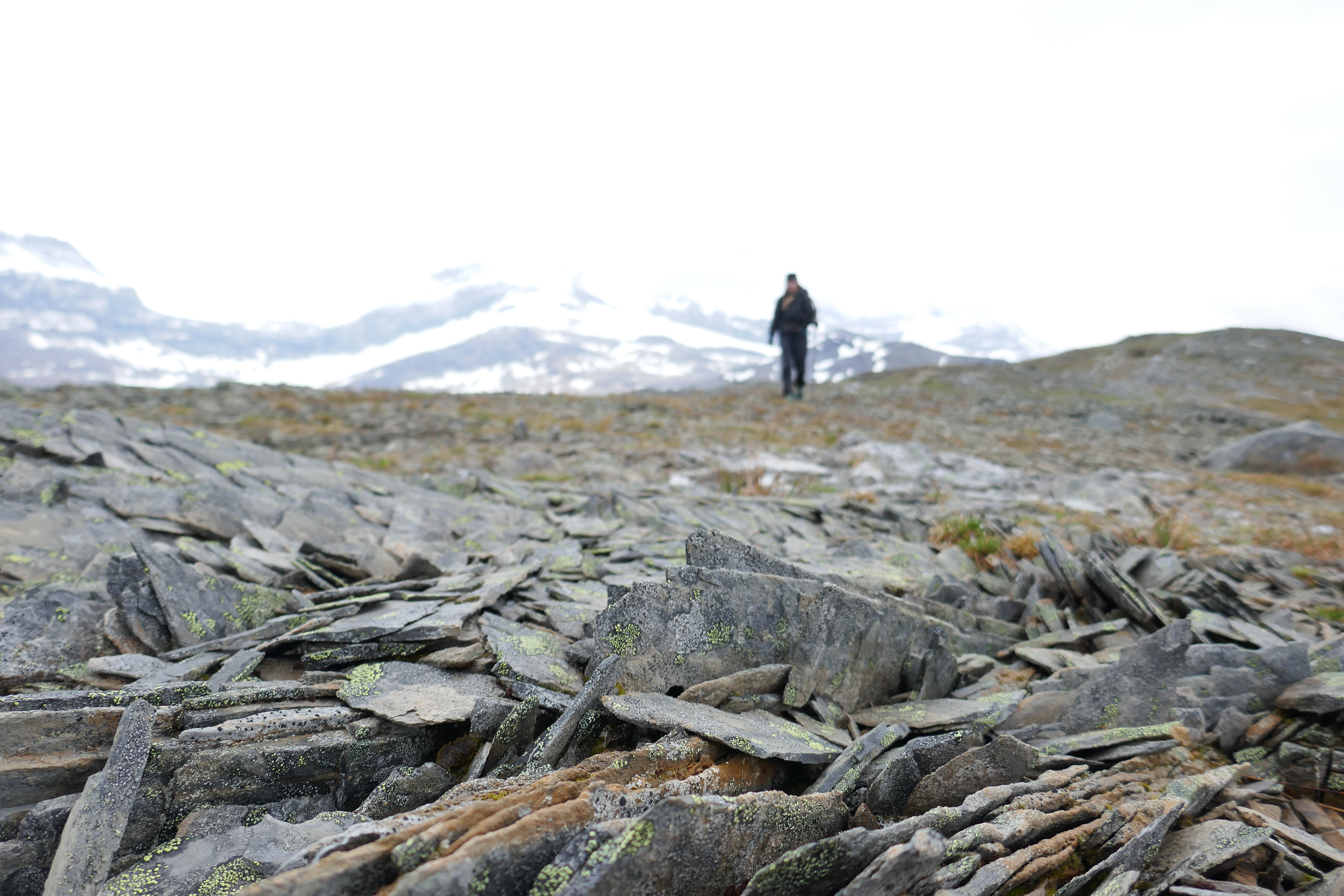
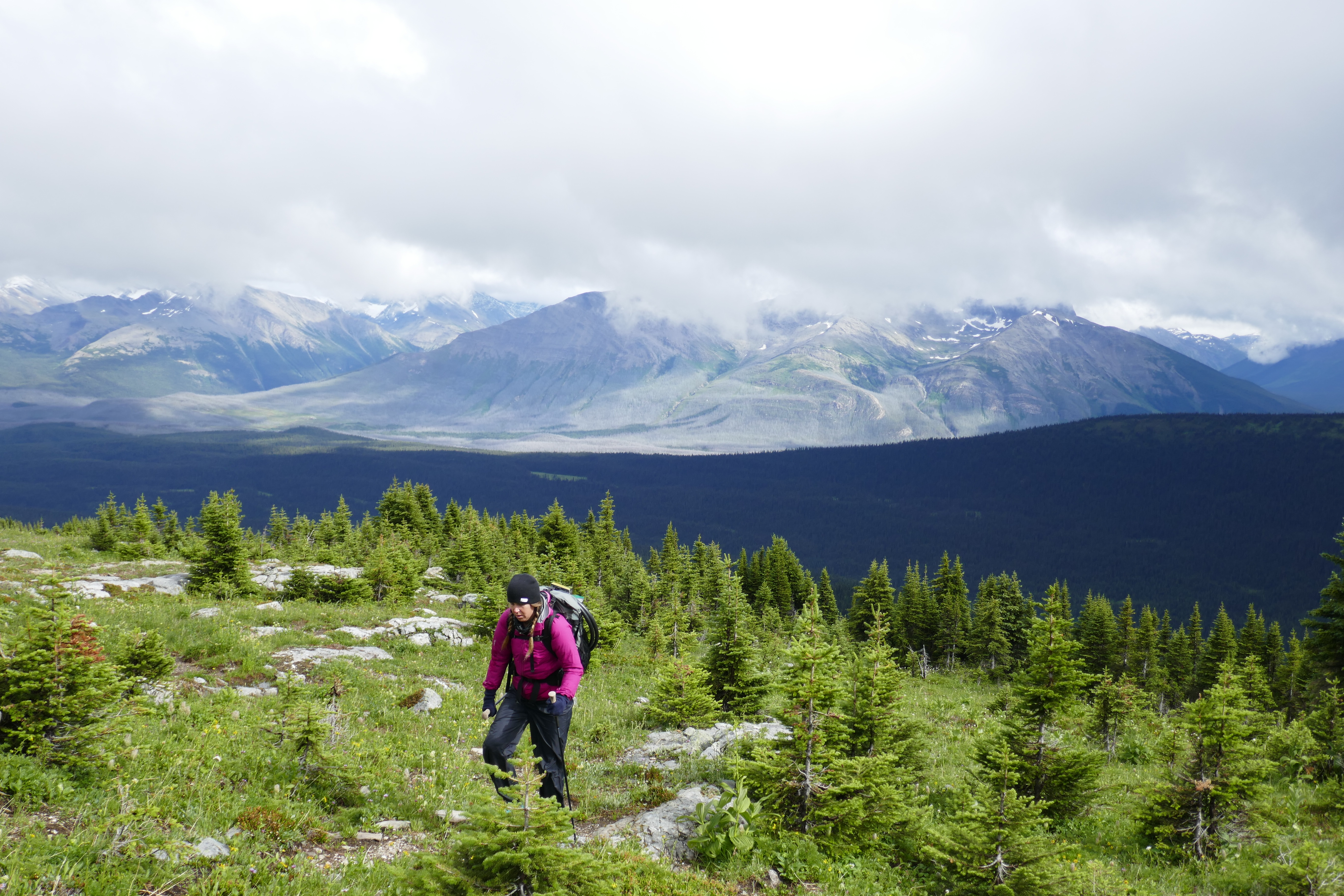
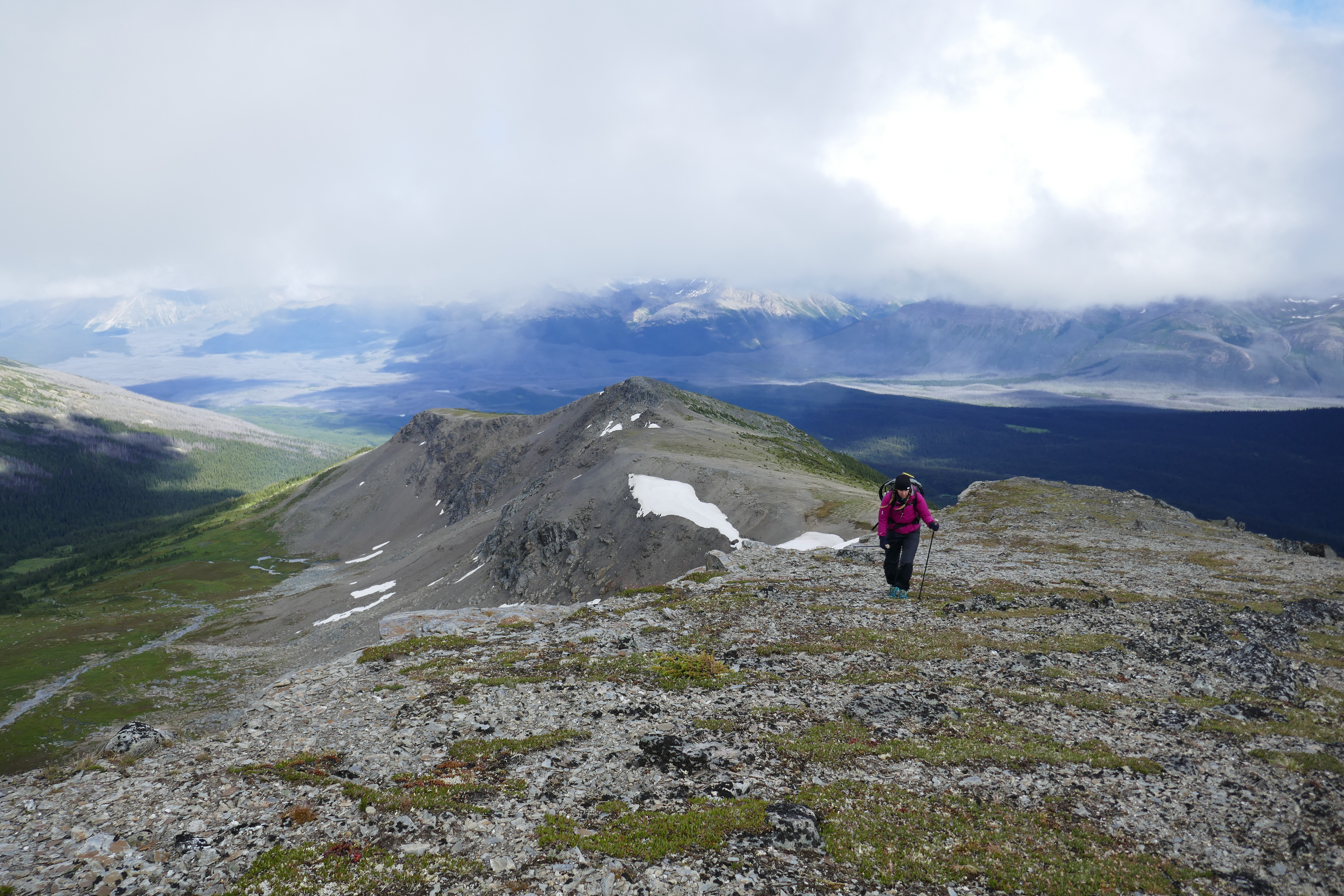
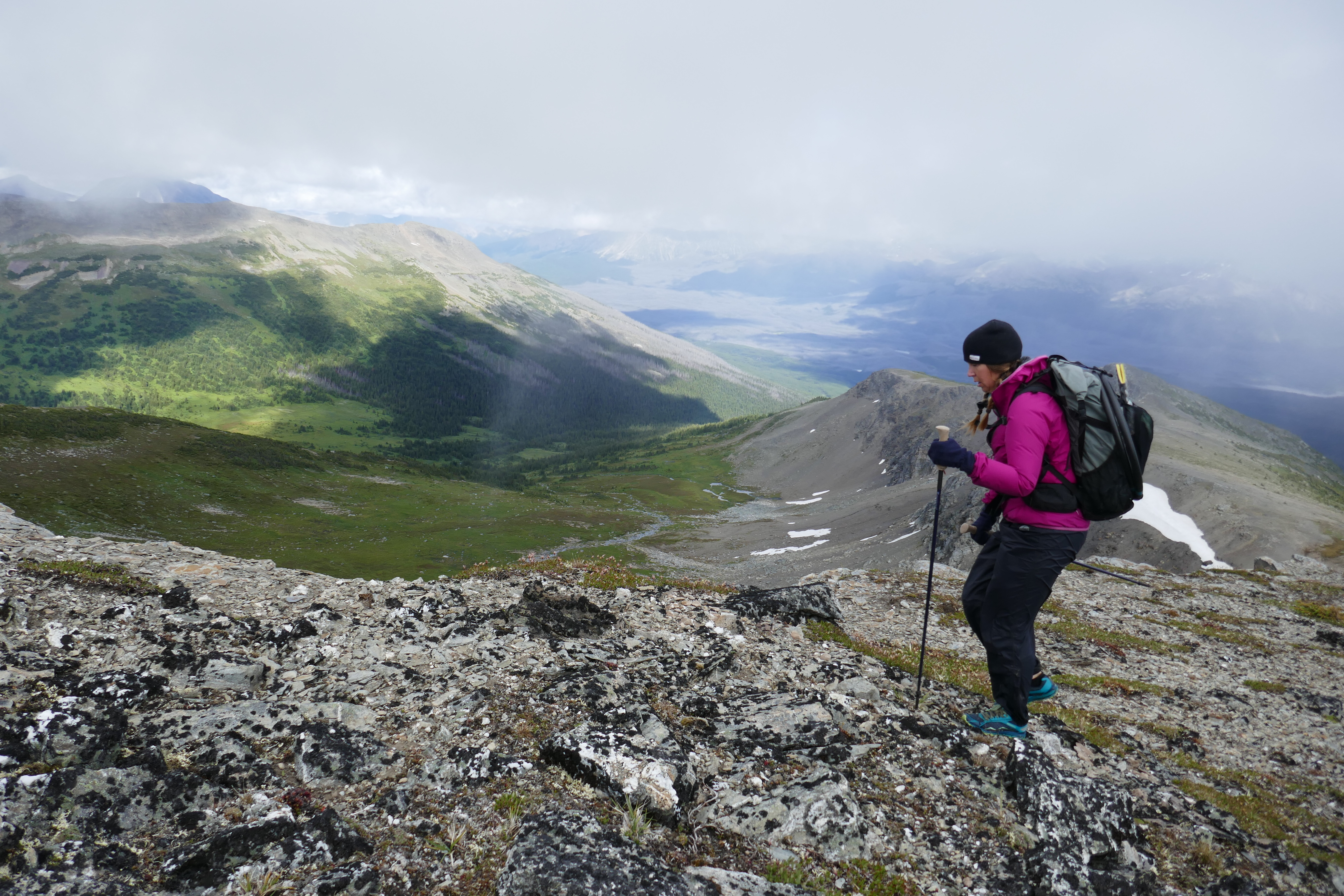
It is absolutely breathtaking up here! Moody clouds, hanging glaciers, cascading waterfalls, and of course, the wild flowers. Since the weather is looking pretty stable, we decide to go for the High Alpine Alternate, rather than dropping into the dreaded Jackpine valley. The GDT often has alpine options, but of course, they are weather dependent. Let’s go for it! The alpine section we’ll do is a little longer than the valley option, but we love our alpine and we just can’t get enough!
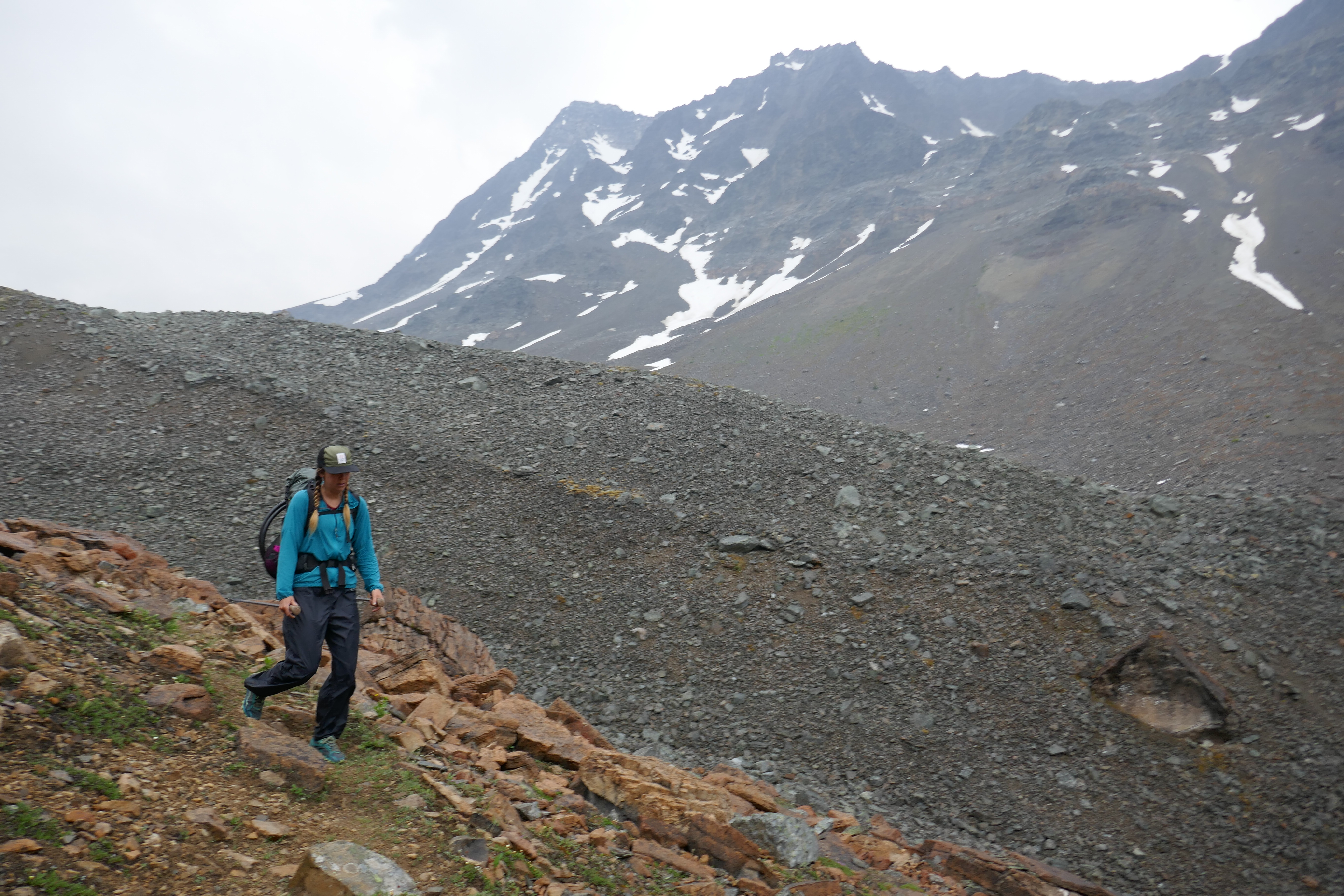
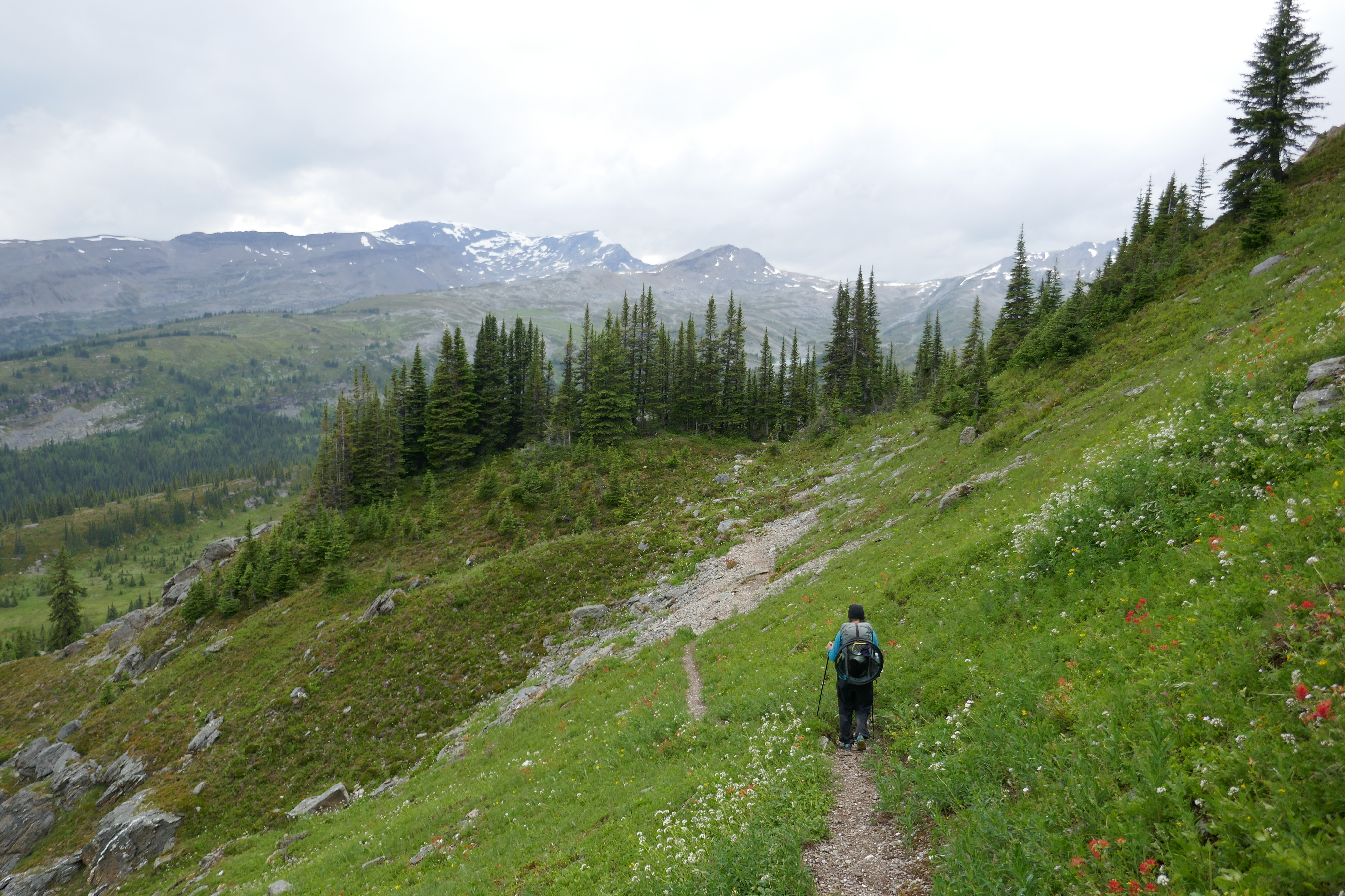
So more up. Over 1000 meter gain in elevation today. My legs have mild cramps, struggling to keep up with it all. We skirted around in the alpine, with no trail whatsoever, but countless hiking options. I’m proud of my man as he navigates the best route, building cairns for Jules and Case, who are just behind us.
Now the trail is showing it’s truly WILD side – no trail…just a vague route…a choose-your-own-adventure, wide as the open imagination. It’s perfect. Today is HANDS DOWN the most beautiful day on the trail. Alternate trail, you win!
We set up camp wherever the heck we felt like it because heck, the wide open space! Jules and Case make it here too, and we all sit around and chat. It’s the tiniest hiking community ever, but a community none-the-less. It’s perfect.
Have I mentioned everything’s perfect? Best. Day.
July 22 – 996-1021 (25 GDT Kms; actual 26 Kms)
Major choice time. We can stay up in the alpine on an extended alternate route, or drop down and walk the notably more challenging valley bottom. We prefer the alpine, but the route is a fair amount more distance, and we feel crunched for time. Our dwindling food supply is also screaming at us to take the shorter trail. We write a note for Jules and Case and stick it on the trail, informing them that we are (reluctantly) heading to the Jackpine valley.
We take a very muddy side trail down, with slippery rocks and insecure footing. Unfortunately, the GPS app has incorrect information on the trails whereabouts, and we find ourselves scrounging for the trail. We eventually find it on the other side of the river. (For future GDT hikers, Dan took a GPS reading of this trail when we hit it again going SOBO, which he will make available)
Enters Jackpine valley – literally the worse trail on the GDT. Willow wacking. Bog hopping. River fording, and re-fording until infinity. Mud mucking. Just overall, plain SUCK.
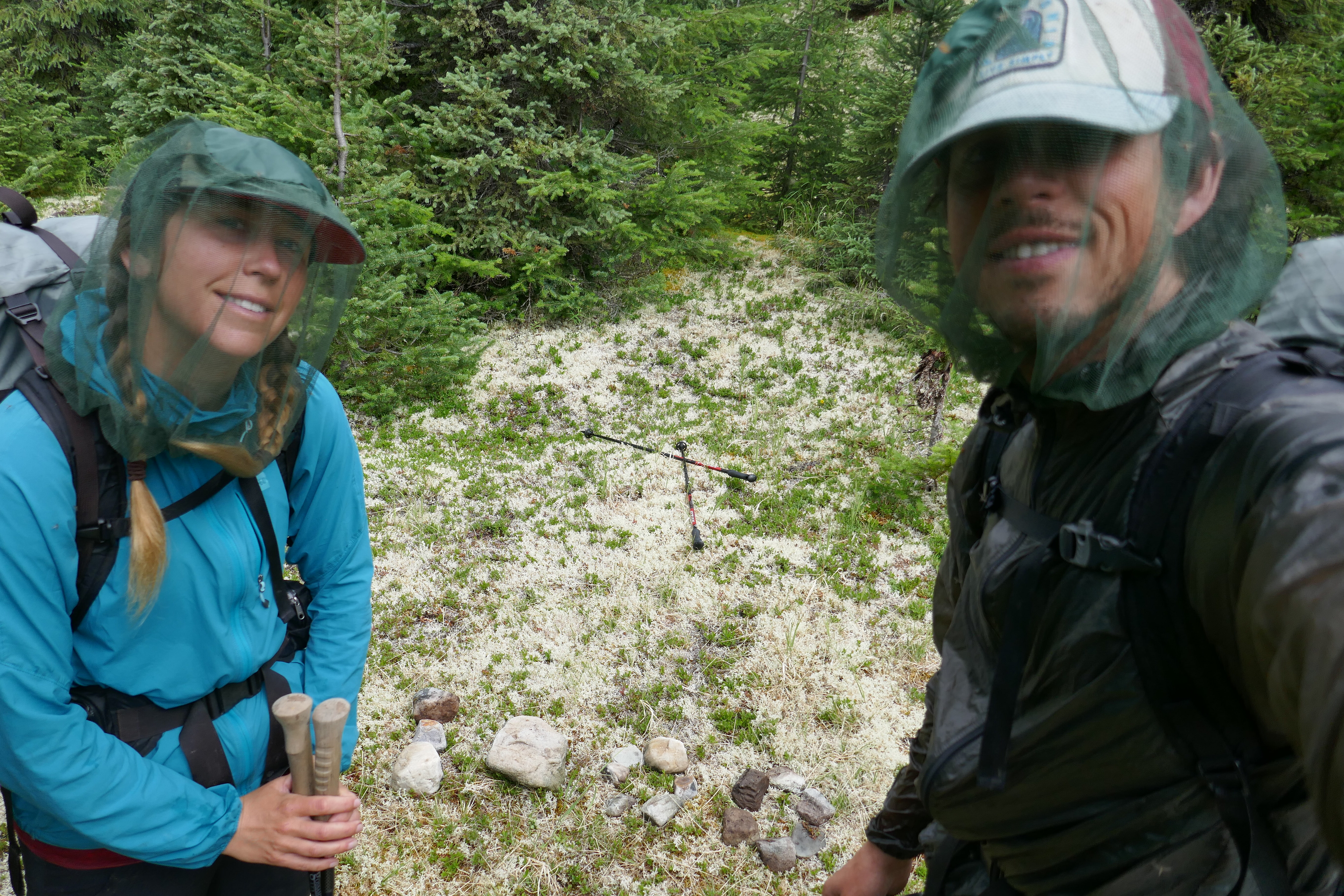
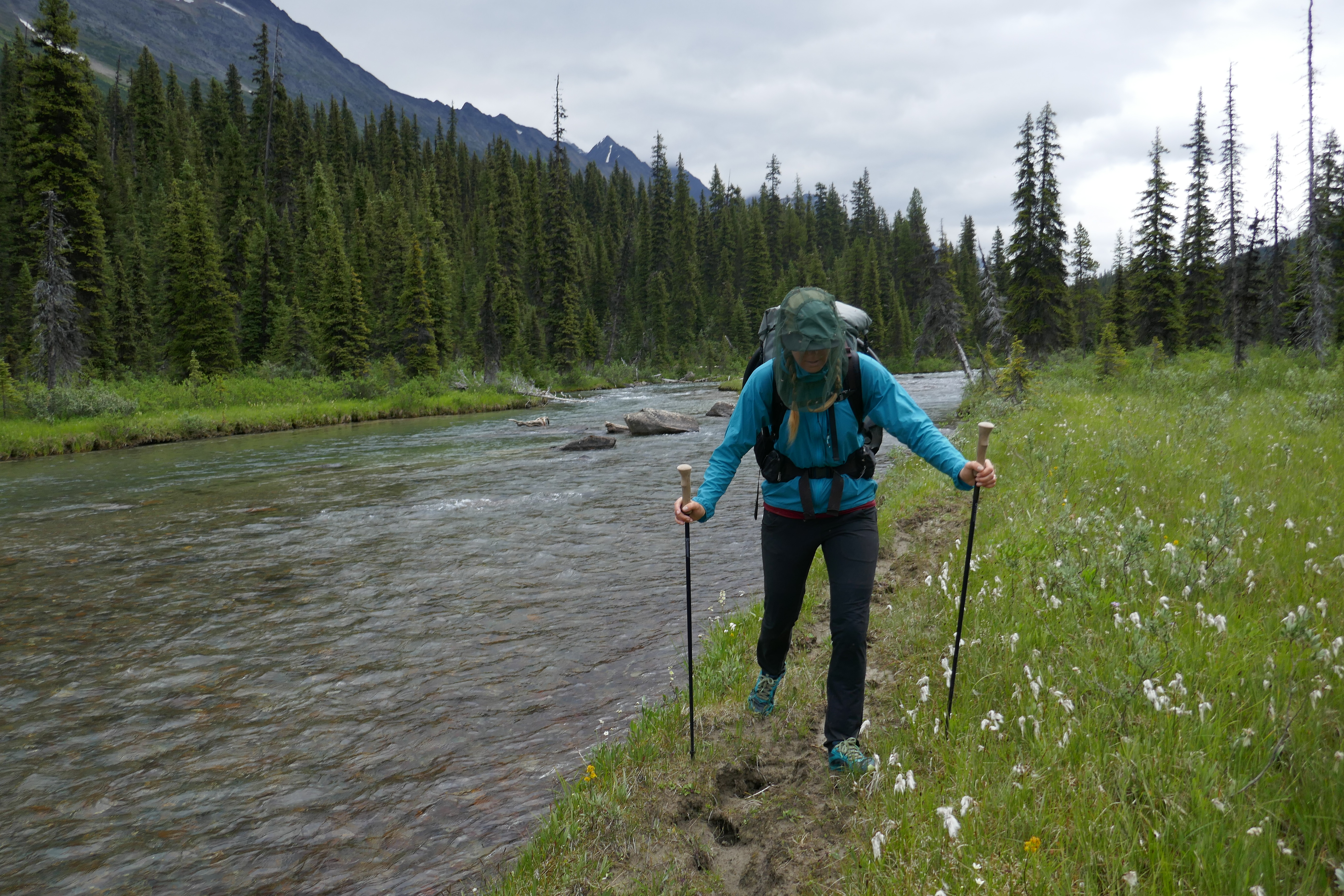
There’s really no point in me mentioning the mosquitoes, as I’m sure you can imagine how horrible they were. Dan, seeing me slowly go crazy from it all, gently suggests I hike with a bug net on my head today. It’s cooler weather, so I won’t be stuffy, and DEET was not cutting it. BRILLIANT. My man is brilliant. That head net is the best $1 I have ever spent at Walmart.
The hiking was rough, but I somehow managed to keep it together. Dan looks back, smiling at me. “What?” I ask. “Nothing. I’m just so proud of you, head down, charging through the mud, getting it done.” I credit my distracting podcasts.
So we trudge away, through the Swamp of Sadness – do not succumb to the depressive, onerous, tedious, awfulness of it all, lest the swamp eat you alive! Truly, I was fighting the spiral of despair, reminding myself that nothing lasts forever.
Eventually, we leave the valley, and continue up an awful trail. The trail proves to dwindle to nothing, lost beneath fallen trees. We hop this way and scamper that way, but the trail is GONE. All of that resolve to push and fight and cope? It’s gone. I’m done! I lose it.
I cry and cry and cry. This trail is so friggin hard! I remember reading trail journals of previous GDT hikers and finding them kind of depressive, and I feel bad for feeling like the writers must have been a bit pessimistic. Now I understand that the trail is unlike any other, and the trail plays HARD. So please understand, I am not a pessimist. I am just deep in over my head on a trail that is rocking me hard. And I’m not alone!
In the safety and quiet of my tent tonight, I announce “NEVER AGAIN.” We will not be taking the Jackpine valley trail when we head south, and Dan couldn’t agree more.
Jack Pine valley…good riddance!
July 23 – 1021-1034 (13km)
It’s rainy today, and before long, we’re soaked. To top things off, it’s really cold.
Not good.
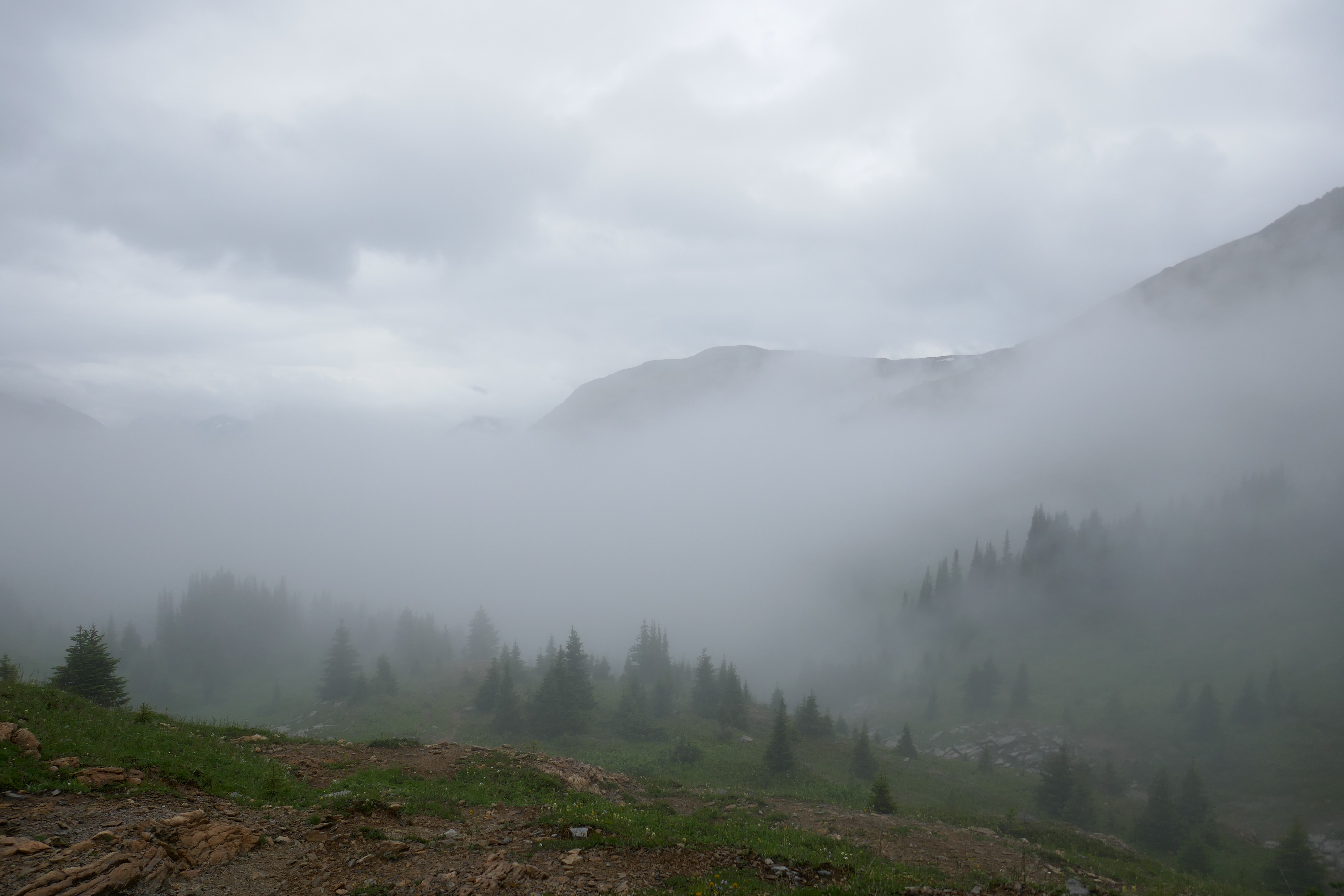
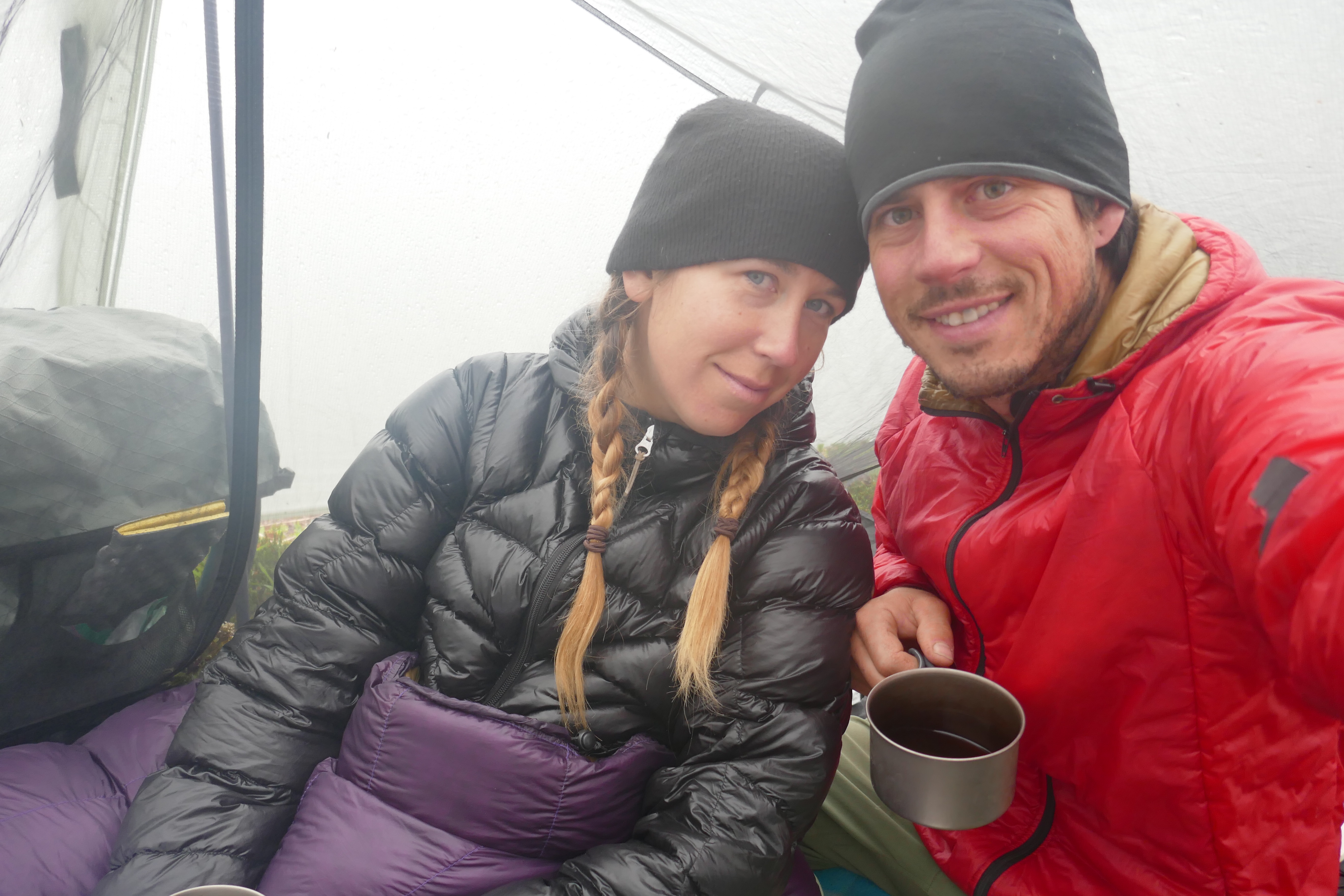
The rain picks up at noon, as we’re about to breached the alpine on an ascent. Dan directs me to shelter in the final trees, where he sets up our tent as a tarp. We shiver as we eat our lunch, quickly getting colder. I begin to shake uncontrollably, tears streaming down my face, and panic goes off the radar.
My thoughts get away on me. I don’t want this bad enough to endure days like this. Life is short, and I’m hiking in this?! There’s no relief. I have no control. I want out. I can’t come back and hike all of this again! I dish all these thoughts to Dan between my sobs. He nods. He listens. He eventually sets up the tent, suggesting we take shelter for real and wait out this mess.
I crawl into the tent, shed my soaking wet clothes, and curl into my sleeping bag. I am so unbelievably cold. Emotional overload has me passed out, and I sleep for an hour as the rain persists on…
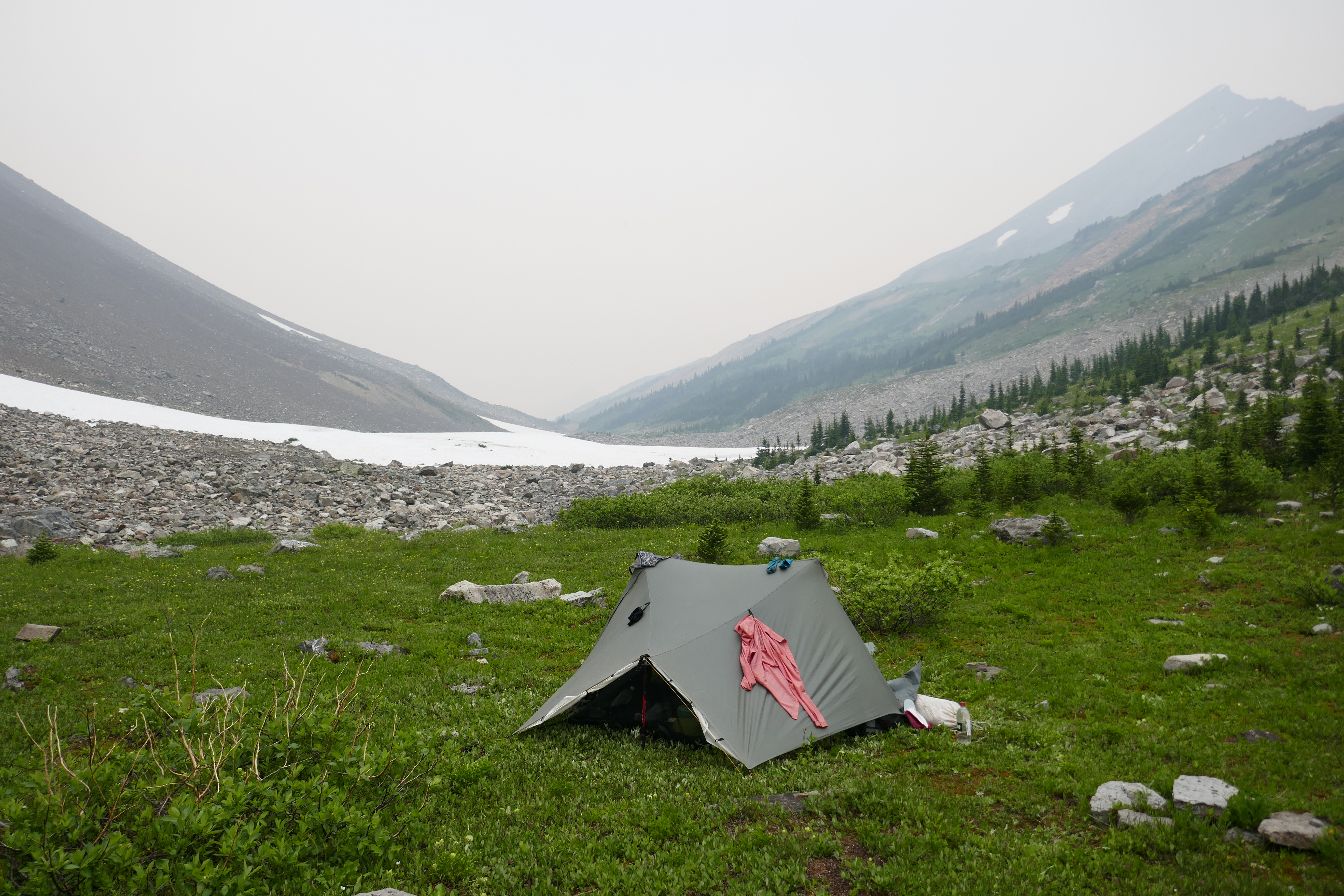
We stay in the tent for five hours, drinking coffee, and eventually making dinner. By 5, the storm settles enough that we decide to make a break for the pass. It’s only 4 Kms to make it up and down Big Shale Hill. We can do it!
We’re slow, and there’s storm clouds everywhere, creating a terrifying beautiful alpine scene. Out here sometimes, it feels like survival!
In our tent tonight, I continue to question if I should do the SOBO at all. I know these days are not that often, but they are tough. We are 7 days from Jasper, 3 days to the end, with no way to signal for rescue or help. We are fully committed out here, and on days like this, it scares me half to death.
July 24 – 1034-1065 (31km)
We are feral.
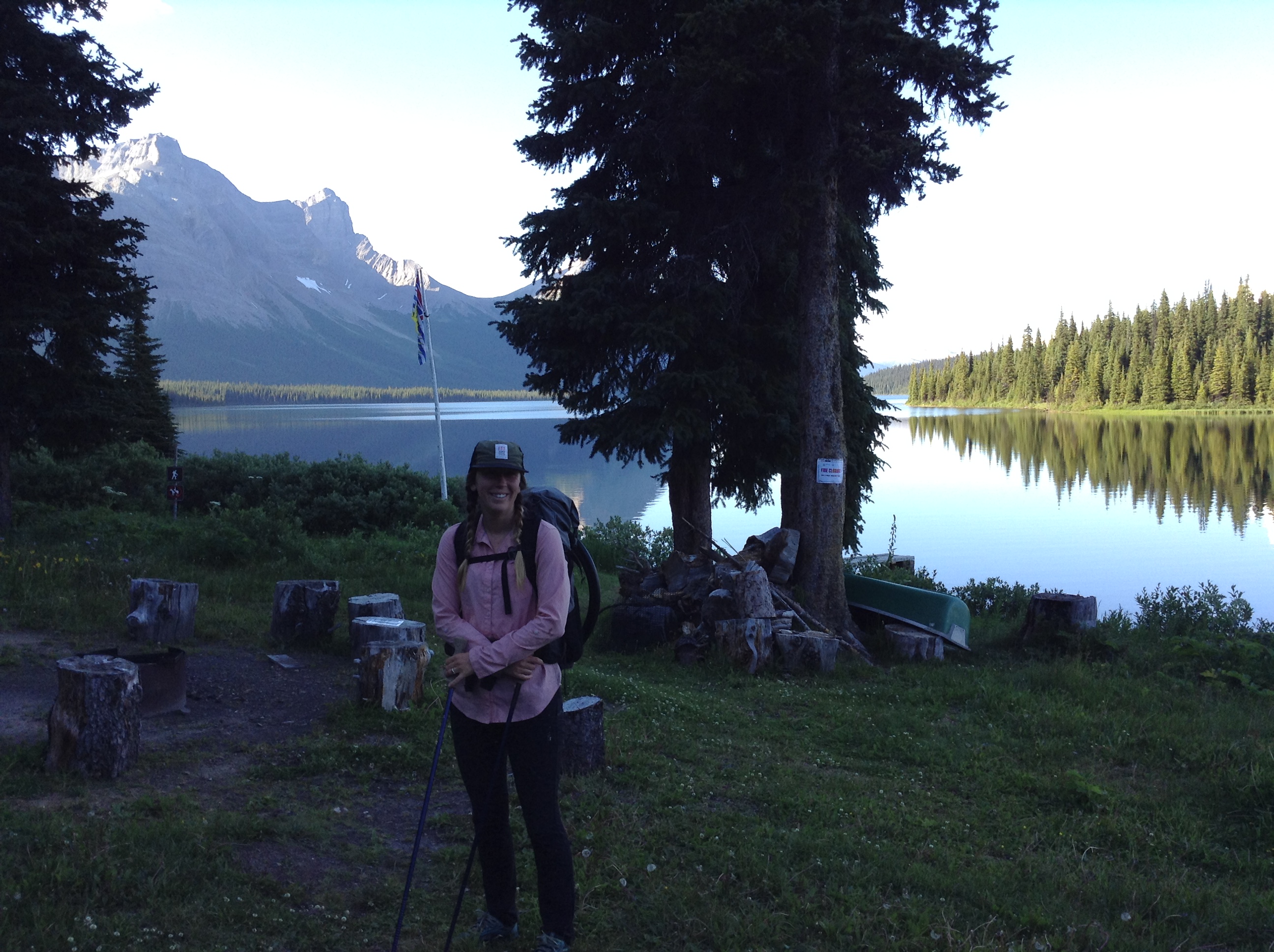
I haven’t had a proper shower since Jasper, an entire 8 days ago. It’s cold today, but we absolutely must wash!! We reach a creek, and completely dunk and suds up in the cold water. It’s so hard to do it, but so necessary at this point. We hike in better spirits having washed away our filth.
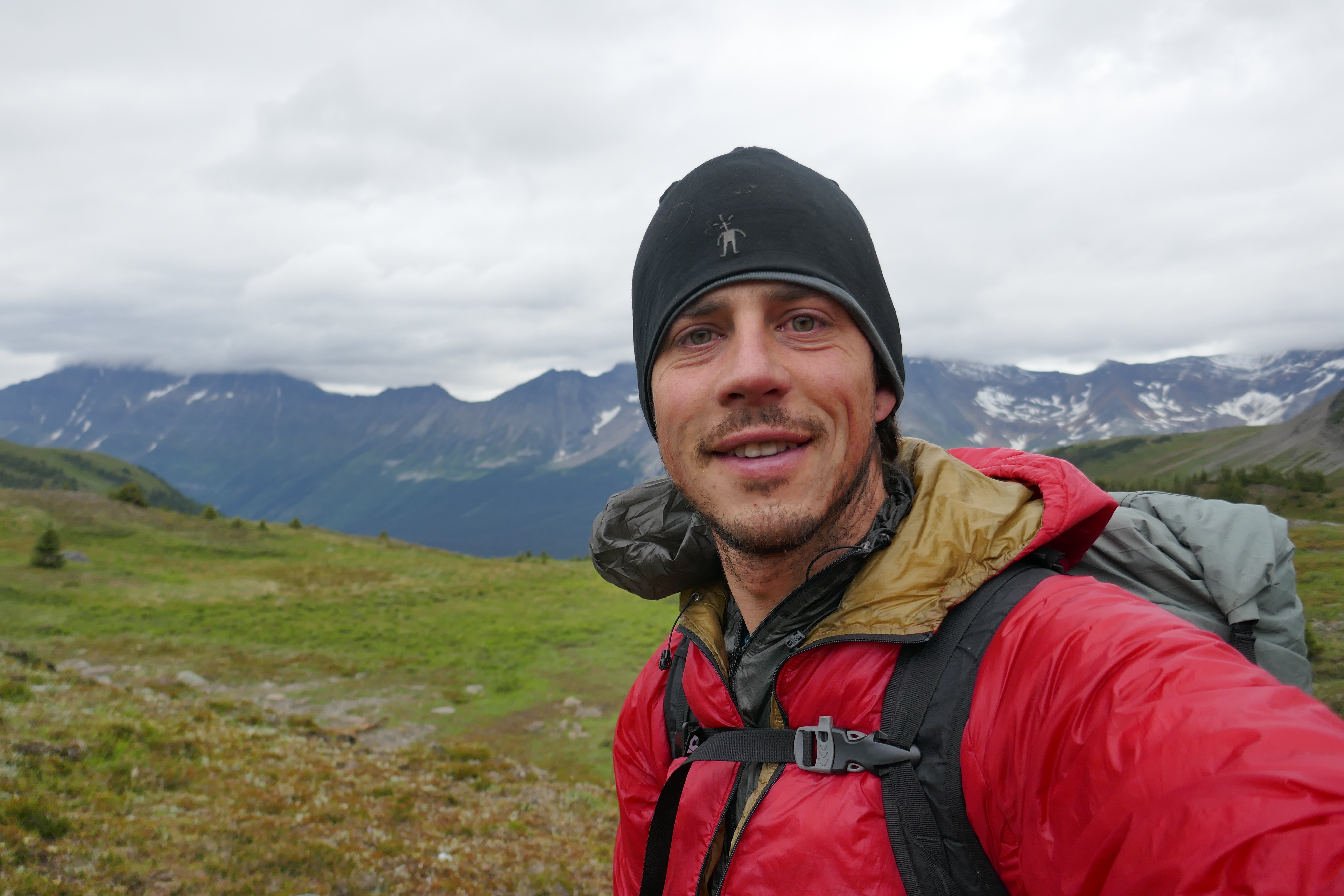
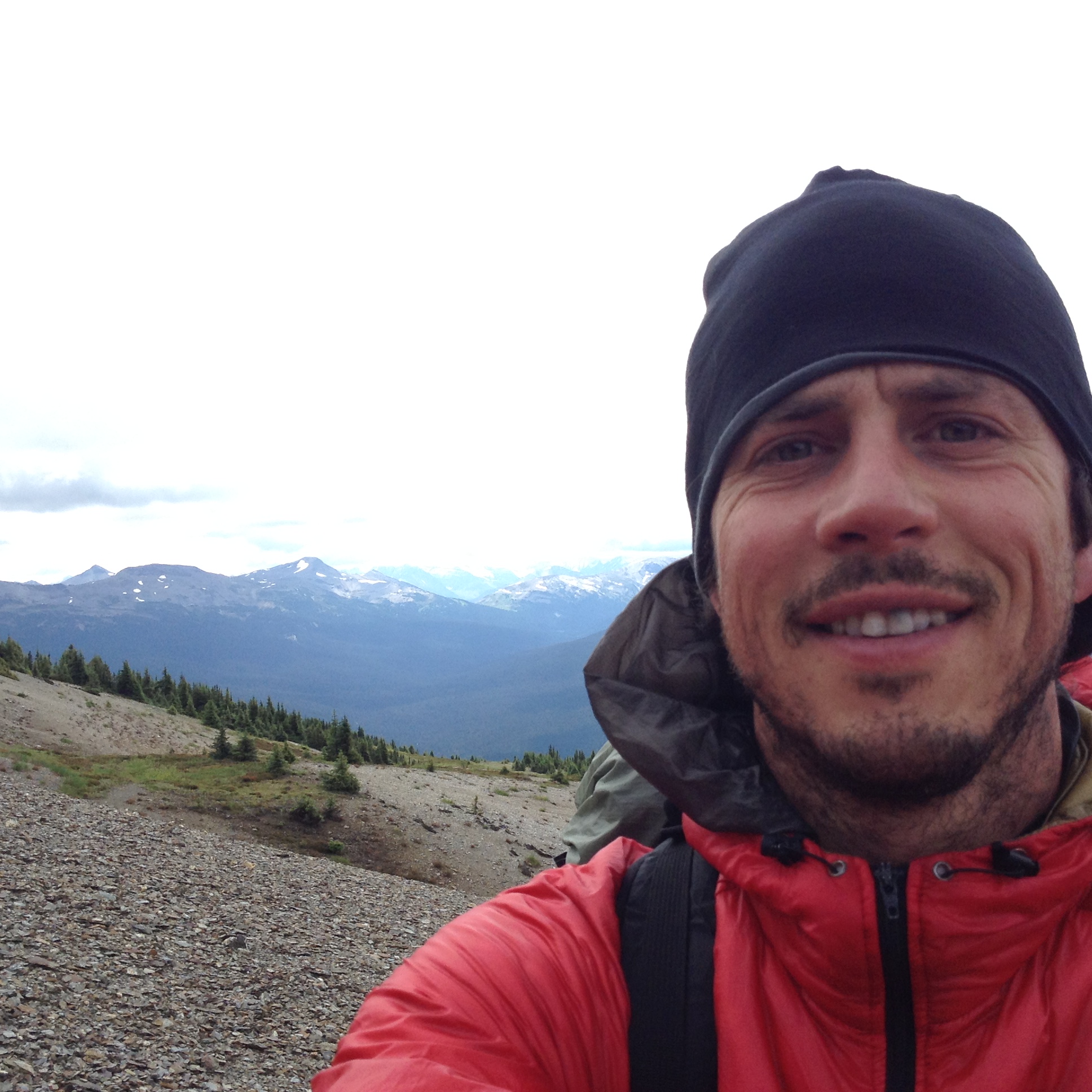
We enter the Wilmore Wilderness, and we are in love! The hiking is low angle passes with gentle terrain, and insanely massive mountains all around. Unfortunately, our camera seems to be on the fritz from the damp conditions lately. We snap a few pictures with our iPad from now on, but overall enjoy the freedom to capture it all.
The rest of the day is sunny, and my frigid, shaking worries of yesterday fade with the rain. Maybe we should continue our hike as planned…? Do the entire yo-yo…? I mean, I have to pig out on sticky buns again in Jasper, right?
July 25 – 1065-1100 (35km)
We’re getting so close to the end of the trail! In fact, today is the final day of hiking north-bound on the official GDT. It’s unreal.
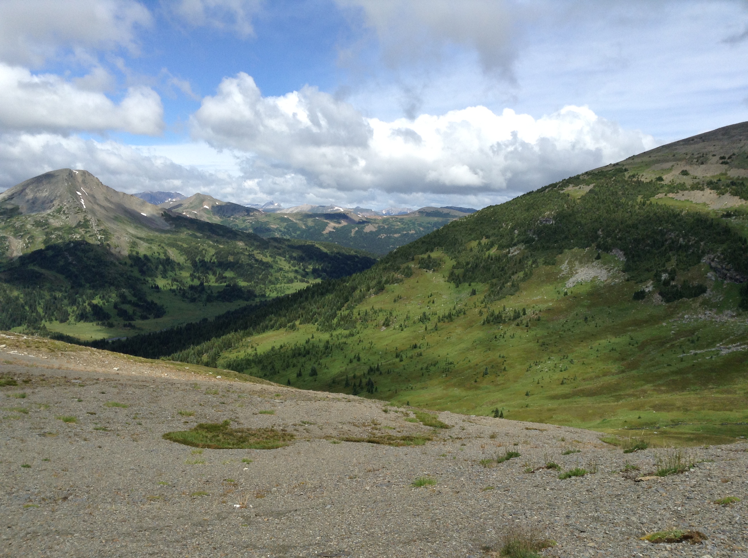
We don’t really talk about it that often today; just another regular day on the trail. We ascend Surprise Pass (a beauty) and cross from Wilmore Wilderness into Kakwa Provincial Park. The final park! How crazy is that? Where’d the time go?!
This land is wild. I’m at a loss for words. I soak it all in. I breathe it, taste it, ingest it. With the loss of our camera, we rely on our minds and memories to capture the scene. Just us and the mountains, caught in this moment, living in the now, savouring the present.
We are hungry beyond belief. It’s a deep, void-like hunger that is never satisfied. Our meagre lunch will burn through our metabolisms within roughly 2 hours. I hike slower today because of it. We talk about all our favourite town eats so far. It’s kind of twisted and tortured, but we love it. We’ll hike through those towns again, after all, so we get a round 2!
As we get closer to the Great Divide Trail’s end, we get nostalgic for our trail home. While it’s not our hike’s end, it’s still an end in a way – the end of the unseen, the unknown, the unexplored. Today is where “the new” ends.
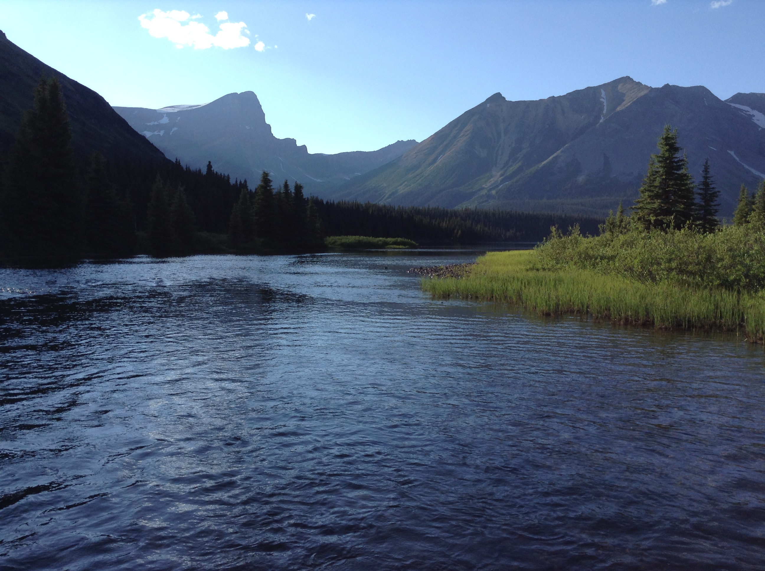
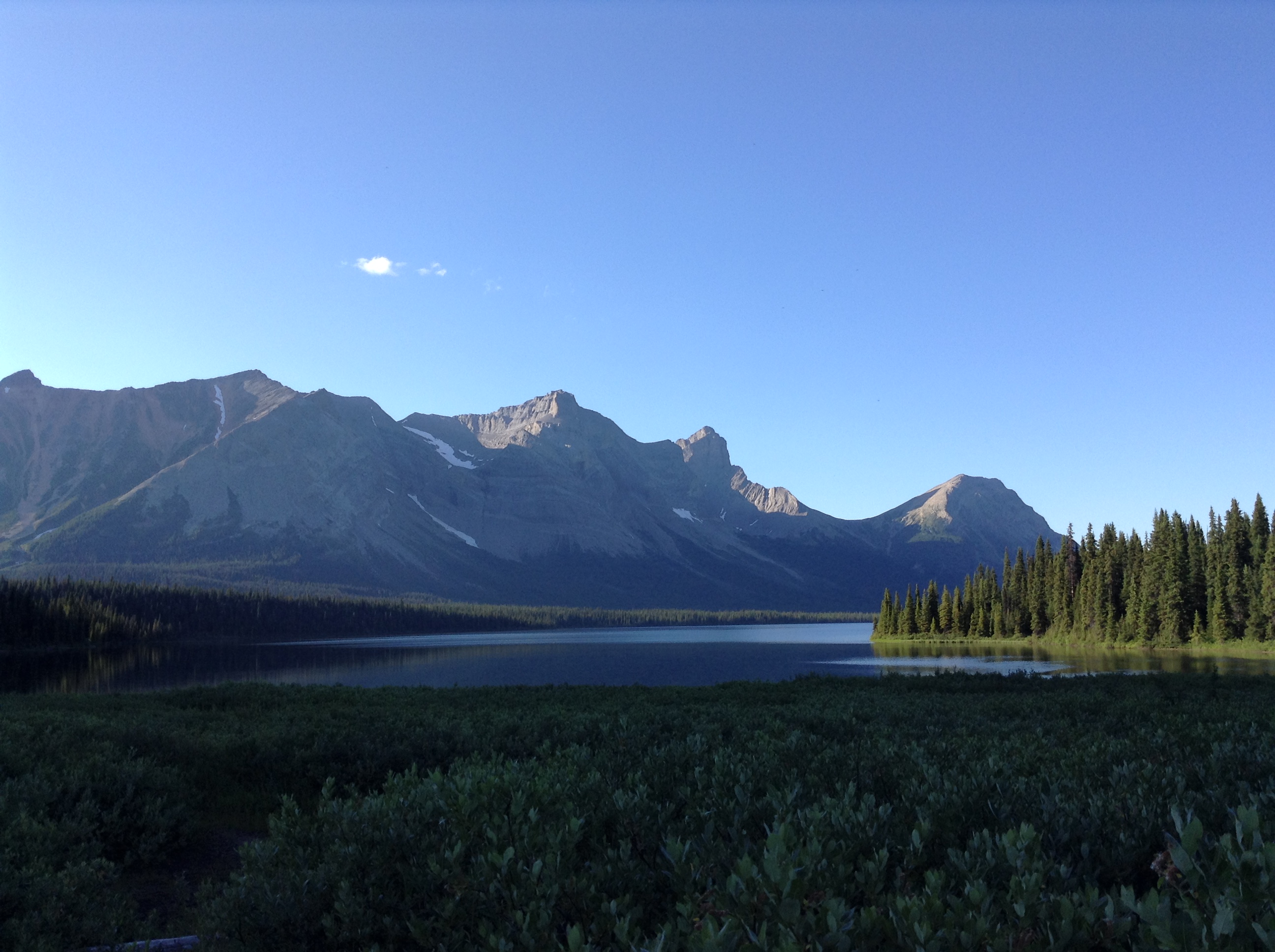
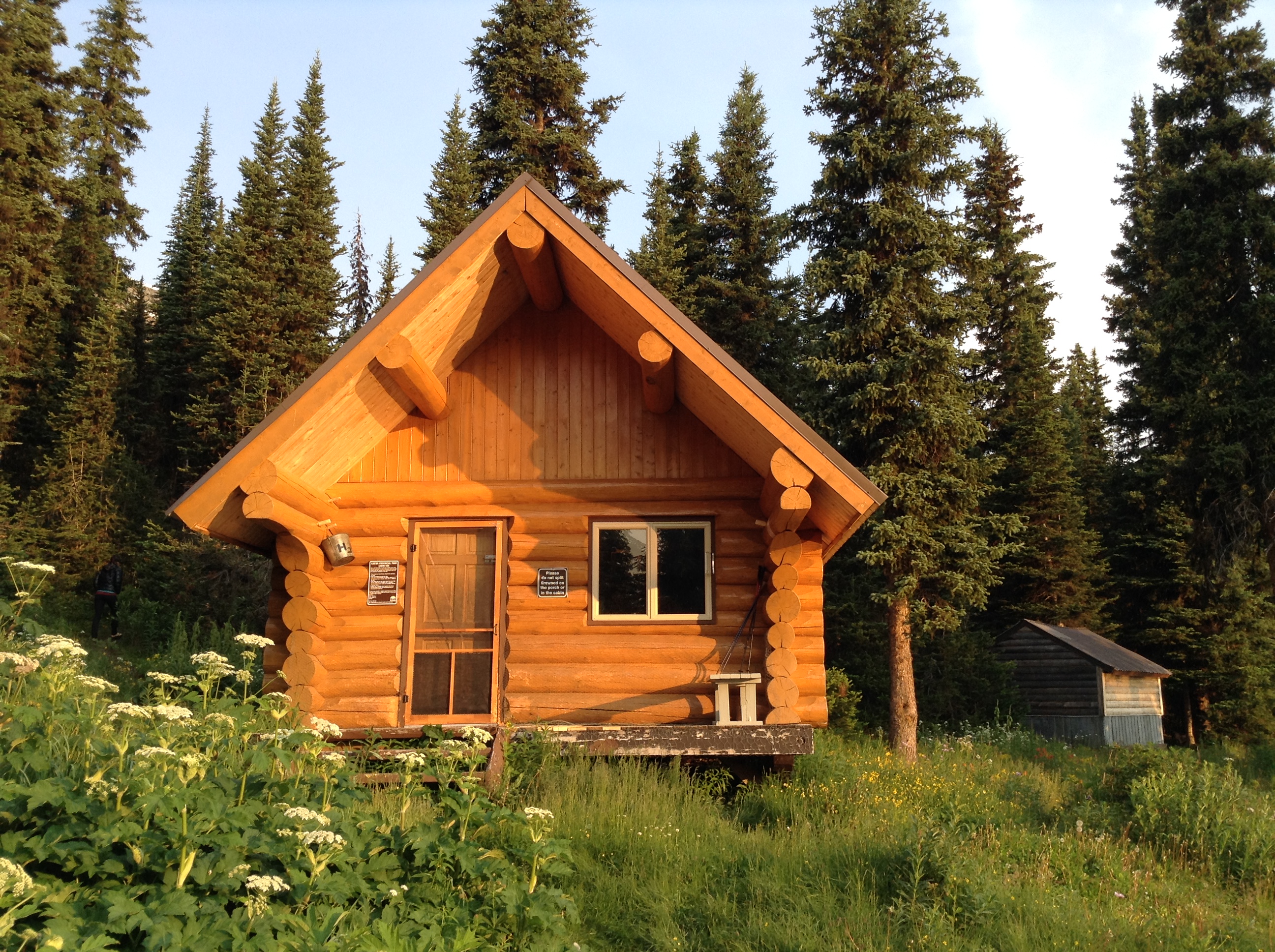
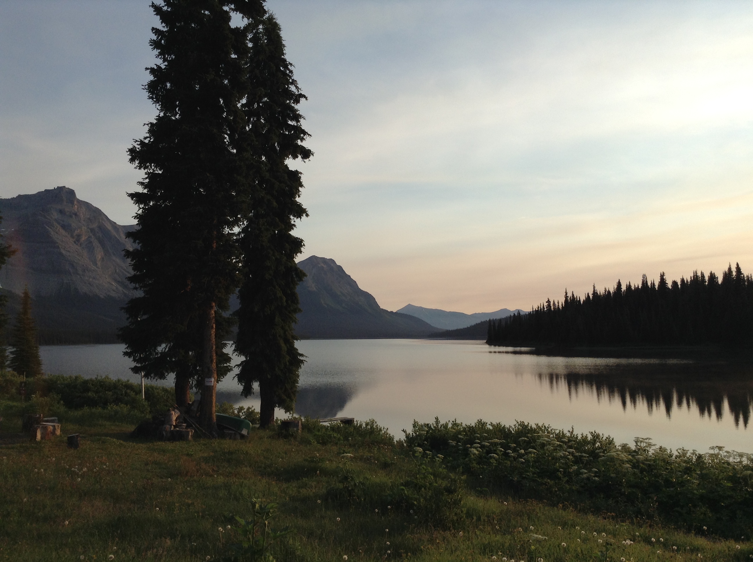
We reach Kakwa Lake, the end, and set-up home in the most beautiful public cabin we have ever seen…all to ourselves. We swim in Kakwa Lake, and dry our clothes over the roaring wood stove. This is comfort! And after all we’ve been through!
What a trail.
Goodnight Dan. Goodnight world. Goodnight GDT.
July 26 – 30 Kms off-trail
We sleep in a gluttonous 30 minutes later than usual, savouring the comfort and warmth of our cabin. We begin our hike down the FSR, off of the official GDT, but necessary in order to meet my mom and dad for our resupply package. There’s a wash-out on the road 30 kilometres away, so that’s as far as any car can make it, so we’ll meet them at that point.
Rumour has it that the road is REALLY rough. I stress about my parents not making it all day. Our food is lower than we’ve ever seen it, and we are both dizzy as we hike. I can’t bare the thought of my parents driving down an awful road in their Jetta for us! What have I done to ask this of them?!
We reach the meeting point over an hour later than planned, and there’s no sign of my parents. Oh no. We take a quick rinse in the river, eat cereal (as it is the last thing we have), and think about what to do. Dan seems worried. Dan is never worried.
We wait until 3, then decide we’ll have to walk further up the road, hoping to find them stuck behind a fallen tree or something. Hopefully they made it most of the way and we don’t have to walk the full 73 kilometres left to the highway.
Jules and Case are catching a ride out with my parents, so we leave them a note explaining that we’ll just have to walk for an indefinite amount of time…and that we’re sorry…? We feel awful. They’re going to panic when they get that note, but we have no idea what’s going on!
We walk, feeling glum, dragging our paws through the thimble berry bushes. 2 kilometres later, we see a rough area of road. Could this be the hold up? Have they made it this far? IS THAT A CAR??
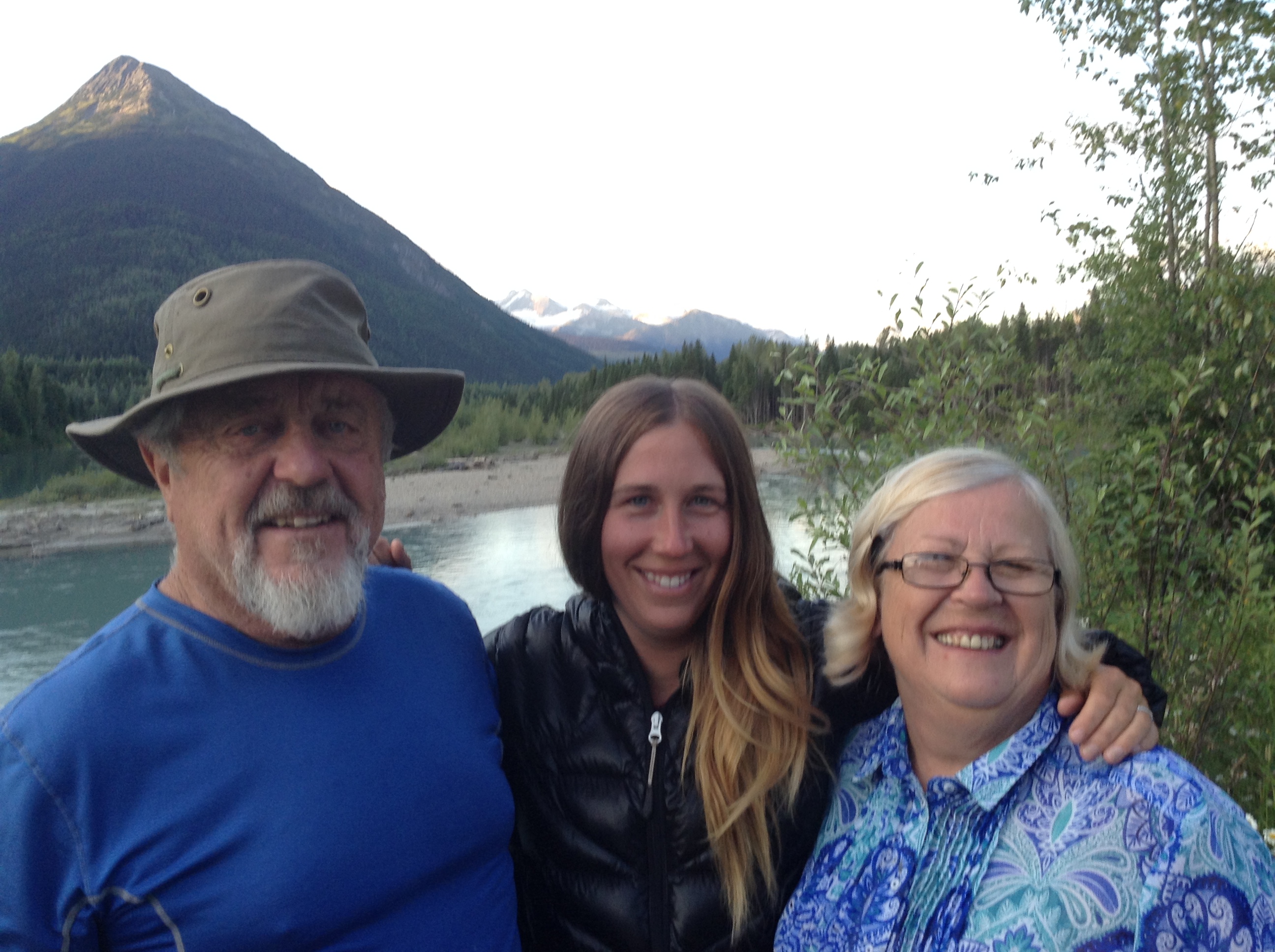
Mom and Dad! My Momma Fox and Poppa Fox, come to relieve my hunger and restore my spirit! We run towards the world’s dirtiest Jetta, as if they might disappear before our eyes. I can’t even describe how I felt. I almost cried!
“Oh my gosh, oh my gosh, oh my gosh…” I repeat as my parents come in for hugs. “We’re smelly,” I warn, but I get the warmest, deepest, most heartfelt hugs that only the parents of hiker trash could provide. I melt into them. Safe.
They drive us the awfully bumpy 38 Kms to where they stashed their trailer, all the while I keep squeezing my mom’s shoulder in disbelief. My parents are here. In the middle of nowhere…for us.
They are major players in making our yo-yo hike possible. They drove way out of their way to this ridiculous road, to spend 1.5 days with us, feeding us great food and providing the best company. We sit in the back of their car, eating chocolate bars, apples, chips and beer.
We move the trailer to the perfect camp spot – a great little pull out area that’s perched above the river, with (what else?) mountainous views. We eat for hours. We are given free range to graze, and graze we shall!
My tummy and heart are full.
1 thought on “Into the Wild Divide: Section F & G: 280 km”
You must be logged in to post a comment.
What a trip!! Hats off to you two for making it through a lot of, shall we say, less than optimal conditions!